71 records returned. Select photo to view larger version.
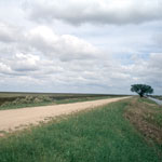
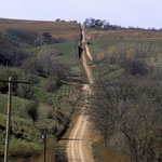
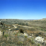
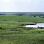
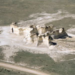
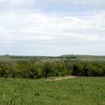
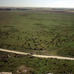 Cattle Herd Below Chalk Bluffs
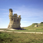
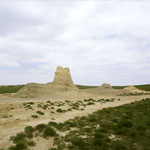
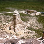
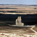
 Castle Rock (2001)
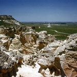
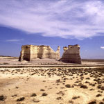
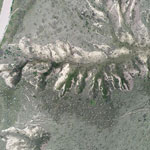
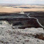
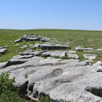
 Little Pyramids
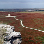
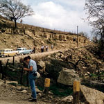
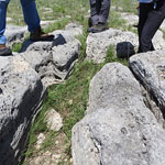
 Post-Rock Limestone Fence
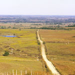
 Cheyenne Bottoms Wildlife Area
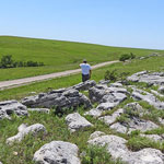
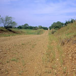 Upland Chert Gravels
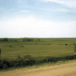
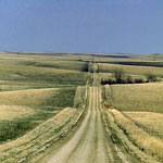
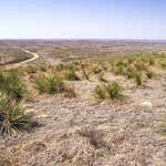
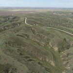
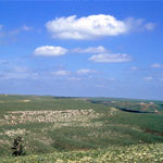
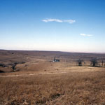
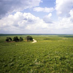 Flint Hills Open Range
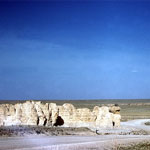
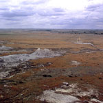
 Caliche Zone
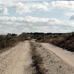
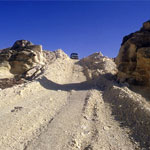
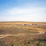
 Elk County Back Roads
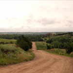
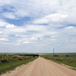
 Flint Hills Back Roads
 Fossil Site Near Cherryvale
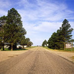
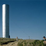 Water Tower
 Loess Road
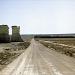
 Ogallala Formation Outcrop
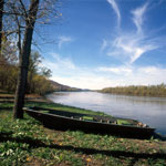 Missouri River
 Smoky Hill River from Monument Rocks
 Castle Rock Before 2001 Collapse
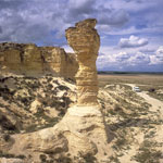 Cobra Rock
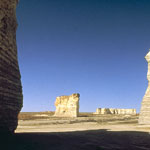
 View from Cobra Rock
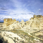
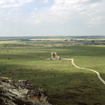
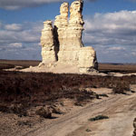
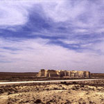
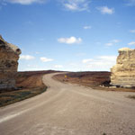
 Monument Rocks
 Base of Sphinx after Collapse
 Castle Rock (1997)
 Castle Rock (2001)
 Chalk Bluffs South of Castle Rock
 Castle Rock and Eroded Chalk Bluffs
 Pagoda Rock (1965)
 Castle Rock Road
 Castle Rock—South Side (1970)
 Castle Rock (1970)
 Monument Rocks
 Monument Rocks
 High Plains Backroad
 Ogallala Formation Outcrops
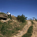
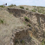
 Trail into Chalk Canyon
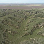
 Flint Hills Back Roads
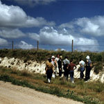
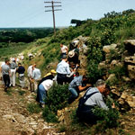 1958 Geology Field Trip
 Flint Hills Open Range
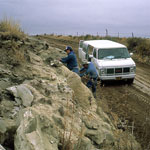
 Middle Beaver Creek Excavation Site
 Kansas-Colorado State Line
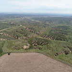
 Burnt Range in the Flint Hills
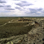
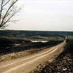
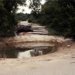 Road Collapse
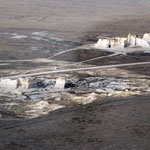
 Monument Rocks (Aerial)
 Little Pyramids
 Back Road to Site of Kidder Fight (Kidder Massacre)
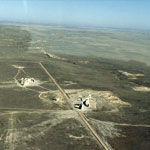
 Monument Rocks (Aerial)
 Arikaree Breaks
 Arikaree Breaks
 Arikaree Breaks
 Arikaree Breaks
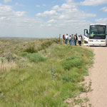
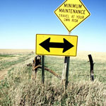
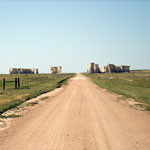
 Flint Hills signpost, 2005
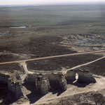 Monument Rocks (Aerial)
 Monument Rocks (Aerial)
 Monument Rocks (Aerial)
 Arikaree Breaks
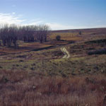
 Back Roads
 Red Hills
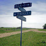
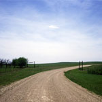
 Road to Skyline Mill Creek Drive from Kansas Highway 99
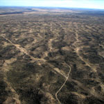 Dune Ridges (Aerial)
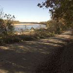 Riverfront Road between Lecompton and Lawrence
 Flint Hills Wildflowers and Rimrock
 Arikaree Breaks
 Gun Barrel Hill
 Yucca in Bloom on the Road to Monument Rocks
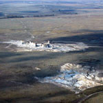
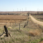 Wind Farm
 Castle Rock (1970)
 Monument Rocks
 Flint Hills
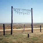 Pyramid View Cemetery
 Kinney Limestone Outcrop on Madison Road
 Kinney Limestone on Madison Road
 Kinney Limestone on Madison Road
Kansas Geological Survey · 1930 Constant Ave. · Lawrence, KS 66047-3724
785-864-3965 · Comments to webadmin@kgs.ku.edu
Updated April 2018
Website Terms of Use
Log In
