45 records returned. Select photo to view larger version.
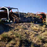
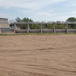 Diversion Dam on the Arkansas River Near Dundee
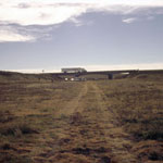
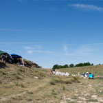
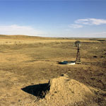
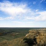 Point of Rocks
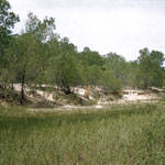
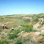
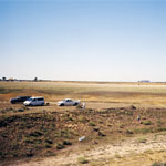
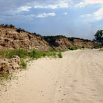
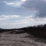
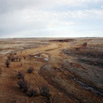
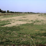 Arkansas River, Dry Riverbed
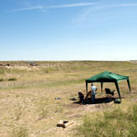
 Cimarron River near Wagon Bed Springs
 Cimarron River near Wagon Bed Springs
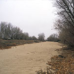
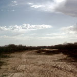 Tracks in Dry Riverbed
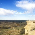 Point of Rocks Outcrop
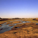 Braided Streams
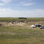
 Bear Creek on the High Plains
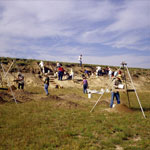
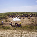
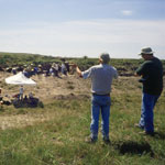
 Middle Beaver Creek Excavation Site #5
 Middle Beaver Creek Excavation Site #6
 Excavation Site Near Kanorado in Sherman County
 Beaver Creek Excavation Site #1
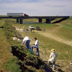
 Highway Bridge Over Dry Arkansas River
 Measuring Groundwater in Dry Riverbed
 Beaver Creek Excavation Site
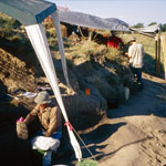
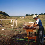 Rinsing Soils at Beaver Creek Excavation Site
 Beaver Creek Excavation Site
 Beaver Creek Excavation Site
 Recording Dig Levels at Beaver Creek Excavation Site
 Middle Beaver Creek Near Kanorado
 Dry Smoky Hill Riverbed
 Beaver Creek Excavation Site
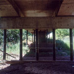
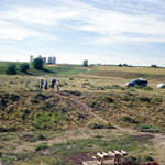
 Excavation Site Below Interstate 70
 Middle Beaver Creek Excavation
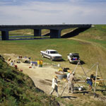
 Interstate 70 Over Beaver Creek
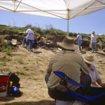
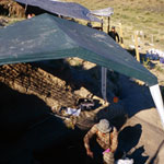
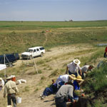
 Geoarchaeology Dig
 Beaver Creek Excavation Site
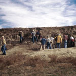
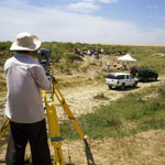 Laser Survey at Beaver Creek Excavations
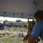
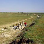
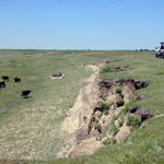
 Excavations Along Beaver Creek
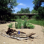
 Middle Beaver Creek Excavation Site
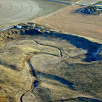
 Geoarchaeology Site
 Dry Channel of Cimarron River
 Beaver Creek Excavation Site
 Meander Tributary to Arkansas River (Aerial)
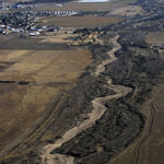 Dry Arkansas River (Aerial)
 Bike Tracks in Cimarron Riverbed
 Excavation Site #6 on Beaver Creek
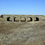 Stone Arch Bridge
 Point of Rocks
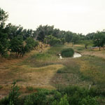
 Keiger Creek
 Igneous Glacial Drift
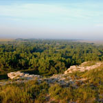
 View over Keiger Creek
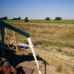
 Drilling Core at Mattox Draw
 Beaver Creek Excavation Site
Kansas Geological Survey · 1930 Constant Ave. · Lawrence, KS 66047-3724
785-864-3965 · Comments to webadmin@kgs.ku.edu
Updated April 2018
Website Terms of Use
Log In
