97 records returned. Select photo to view larger version.
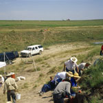
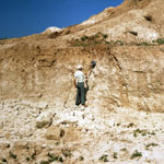
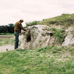
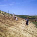
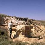
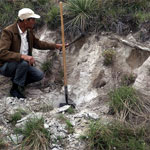
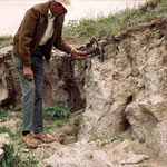
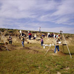
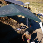
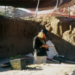
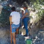
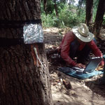
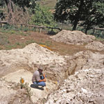
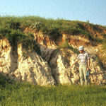
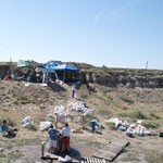
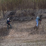
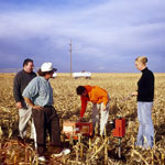
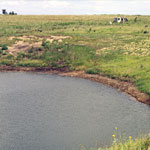
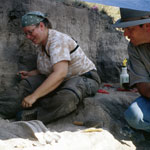
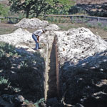 Dig Site Near Burntwood Creek
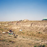
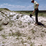
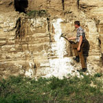
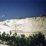
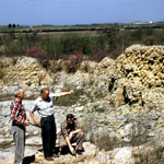
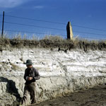
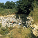
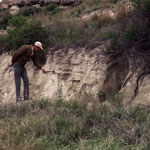
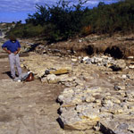
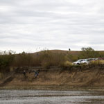
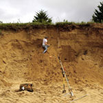
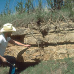 Stone Corral Formation
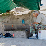
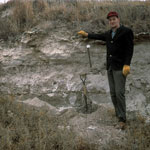
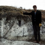
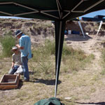
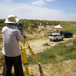
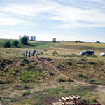
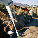
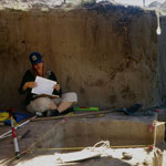
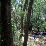
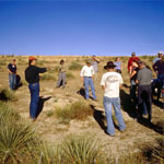
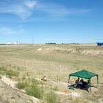
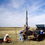
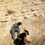
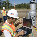
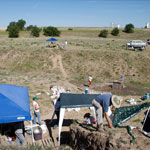
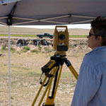
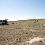 Mapping Subsurface Above Kanorado Excavation
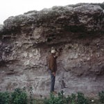
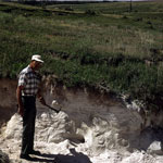
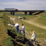
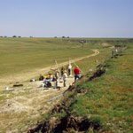
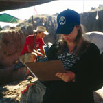
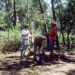
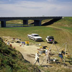
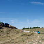
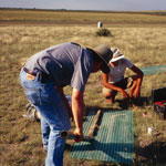
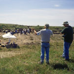
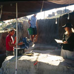
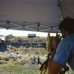 Recording Dig Levels at Beaver Creek Excavation Site
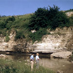
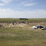
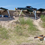
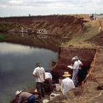
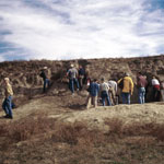
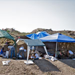
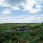
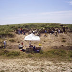
 Beaver Creek Excavation Site
 Dig Site at Beaver Creek
 Uncovering Paleoindian Artifacts
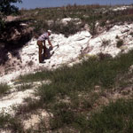
 Pearlette Ash Beds
 Volcanic Ash in Central Kansas
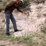
 Volcanic Ash
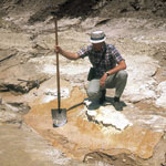
 Reager Ash Pit
 Reager Ash Pit
 Reager Ash Outcrop
 Reager Ash Bed
 Pearlette Ash Bed
 Reager Ash Outcrop
 Volcanic Ash Exposure
 Volcanic Ash
 Ash Deposit
 Volcanic Ash Pit
 Volcanic Ash
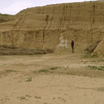
 Loveland-Peoria Contact
 Sunflower Ordnance Works Quarry
 Reager Ash Bed
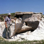
 "Squirrel Sandstone"
 Volcanic Ash Over Niobrara Chalk
 Fossiliferous Silts
 Limestone-Shale Contact in Swope Limestone
 Pearlette Ash
 Reager Ash Outcrop
 Quarry in Plattsmouth Limestone Member
 Middleton Quarry
 Westerville Limestone Member
 Reager Ash Bed
 Reager Ash Bed
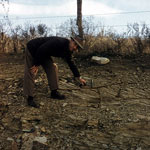
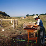
 Sifting Soil for Artifacts
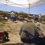
 Geoarchaeology Dig
 Beaver Creek Excavation Site #1
 Excavation Site Below Interstate 70
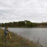
 Laser Survey at Beaver Creek Excavations
 Beaver Creek Excavation Site
 Beaver Creek Excavation Site
 Geoarchaeology Excavations
 Geoarchaeology Site
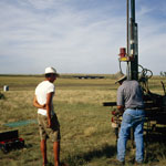 Drilling Near Excavation Site
 Beaver Creek Excavation Site
 Beaver Creek Excavation Site
 Beaver Creek Excavation Site
 Documenting Excavation at Middle Beaver Creek
 Beaver Creek Excavation Site
 Excavation of 11,000-Year-Old Campsite
 Geoarchaeological Excavation in Creek Bank
 Excavation of 11,000-Year-Old Campsite
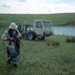 Seismic Measurement at Macksville Sink
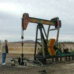 Pumpjack
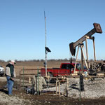
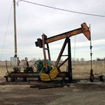 Pumpjack at Lindsborg Oil Field
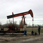 Pumpjack at Lindsborg Oil Field
 Coalbed Methane Well
 Excavation at Bison Jump
 Excavation Site Near Kanorado in Sherman County
 Middle Beaver Creek Excavation Site #6
 Monitoring Water Uptake in Trees
 Tagged Trees for Riparian Water Use Measurements
 Groundwater Measurement Along Dry Riverbed
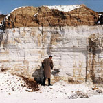
 Volcanic Ash Quarry
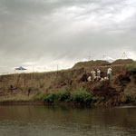
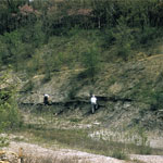
 Excavation Near Rock Shelter on Burntwood Creek
 Unearthed Fossil Beds Below Tuttle Creek Dam
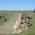
 Ancient Bison Kill Site
 Middle Beaver Creek Excavation Site #5
 Volcanic Ash
 Excavation Site on Beaver Creek
 Excavation Site #6 on Beaver Creek
 Excavation Site #6 at Beaver Creek
 Rinsing Buried Soils at Excavation Site
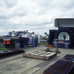
 Drilling Core Samples
 Core Samples
 Coffey Geoarchaeology Site
 Geoarchaeologists on Big Blue River Bank
 Borrow Pit
 Cretaceous Rocks at Roadcut
 Sioux Quartzite Boulder
 Testing Moisture Depths with Neutron Probe
 LIDAR Scanning
 Total Station Measurements at Coffey Geoarchaeology Site
 Drilling Core at Mattox Draw
 Seismic Measurement at Macksville Sink
 Seismic Measurement at Macksville Sink
 KGS Seismic Crew at Macksville Sink
 Lone Star Lake Spillway
 Bison Bones at Excavation Site
 Bear Creek Excavation Site
 Beaver Creek Excavation Site
 Excavations Along Beaver Creek
 Measuring Excavation Site
 Geoarchaeology Excavation Site
 Beaver Creek Excavation Site
 Rinsing Soils at Beaver Creek Excavation Site
Kansas Geological Survey · 1930 Constant Ave. · Lawrence, KS 66047-3724
785-864-3965 · Comments to webadmin@kgs.ku.edu
Updated April 2018
Website Terms of Use
Log In
