103 records returned. Select photo to view larger version.
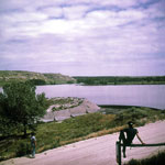
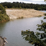
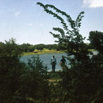
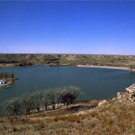
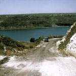
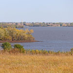
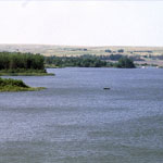
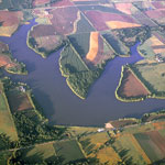
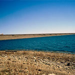
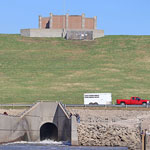
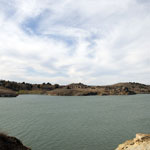
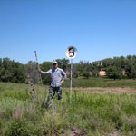
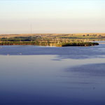
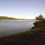
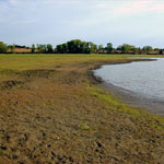
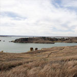
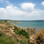
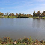
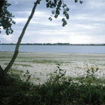 Lake McKinney
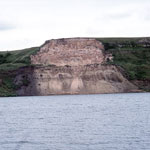
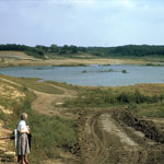
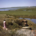
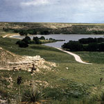
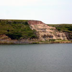
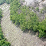
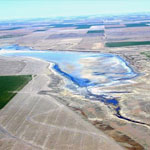
 Unreclaimed Strip-Mined Land
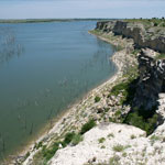
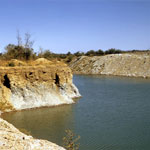 Strip-Mined Land
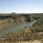
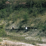
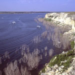
 Water-Filled Trenches in Strip-Mined Land
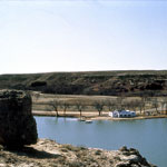
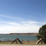
 Dam at Lake McBride (Now Lake Scott)
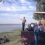
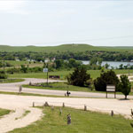
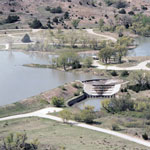
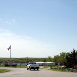
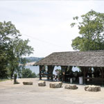 Wyandotte County Lake Park Shelter
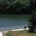
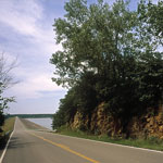
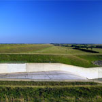
 Lone Star Lake Spillway
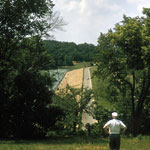
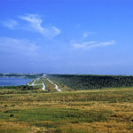
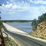 Toronto Lake Dam on Verdigris River
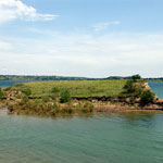
 Wyandotte County Lake Park
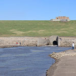
 Wyandotte County Lake Park Spillway
 Wyandotte County Lake Dam
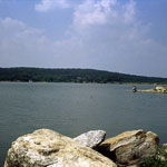
 Richmond City Lake
 Osawatomie City Lake
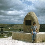 Steele Monument at Lake Scott State Park
 Kirwin Reservoir on Solomon River and Bow Creek
 Clark State Fishing Lake
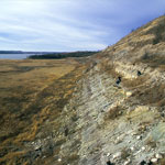
 Landslide at Clark State Fishing Lake
 Lake Scott State Park
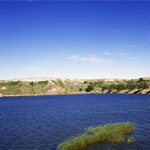
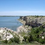
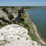
 Cedar Bluff Reservoir
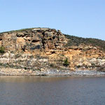
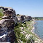
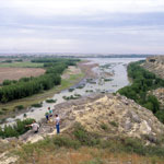 Cedar Bluff Overlooking Smoky Hill River
 Spalled Ash at Clark State Fishing Lake
 Douglas State Fishing Lake
 Indian Hill at Kanopolis Lake
 Clark State Fishing Lake
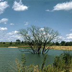
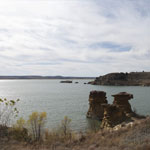
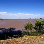
 Barton Lake (Drained)
 Near Wilson Dam on Saline River
 Lake Kahola Spillway
 Atchison County Lake
 Atchison County Lake
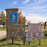 Atchison County Lake
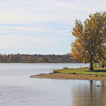
 El Dorado Lake
 Lake McBride (Now Lake Scott)
 Douglas State Fishing Lake
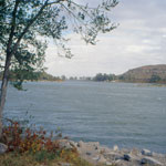
 Tuttle Creek Lake
 Keith Sebelius Lake
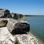
 Ireland Sandstone Member
 Ogallala Formation at Lake Scott State Park
 Clinton Lake Dam
 Strowbridge Reservoir (Aerial)
 Indian Hill at Kanopolis Lake
 Wilson Lake
 Lake Scott State Park
 Lake Scott State Park (Aerial)
 Waconda Lake Dam
 Lone Star Lake (Aerial)
 Lake Hiawatha
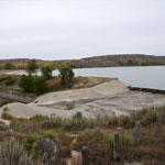
 El Dorado Lake Spillway
 El Dorado Lake
 Trail to Rocktown Cove at Wilson Lake
 Dakota Sandstone Outcrops at Wilson Lake
 Rocktown Cove at Wilson Lake
 Rocktown Cove at Wilson Lake
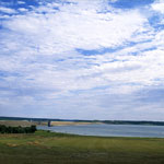
 Lake Wabaunsee
 Lovewell Reservoir
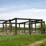
 Abandoned Golf Course at Cutting Lake
 Keith Sebelius Lake
 Cedar Bluff Reservoir
 Ogallala Formation Outcrop at Clark State Fishing Lake
 Keith Sebelius Lake Spillway
 Lone Star Lake
 Lake Scott Dam (Aerial)
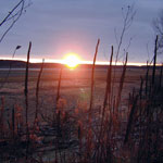 Sunset at Lovewell Reservoir
 Lovewell Reservoir
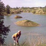
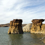
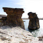
 Dakota Sandstone Island
 Ruins of POW Camp at Lake Wabaunsee
 Cedar Bluff Reservoir
 Receded Lake Level at Lovewell Reservoir (Aerial)
 Dakota Sandstone Along Wilson Lake Shoreline
 Post-Rock Limestone at Wilson Lake
 Rocktown Area at Wilson Lake
 Trail to Rocktown Cove at Wilson Lake
 Post-Rock Fence Posts at Wilson Lake
 El Dorado Lake Spillway and Walnut River
 El Dorado Lake Spillway and Walnut River
 El Dorado Lake Spillway and Walnut River
 Wilson Lake
 Fort Hays Limestone at Cedar Bluff Reservoir
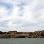
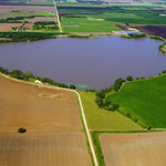
 Lake Inman
 Lake Scott Spillway and Dam
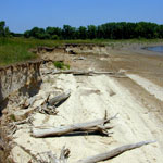
 Mud Cracks at Lovewell Reservoir
 Dakota Sandstone Outcrops
 Rocktown Cove on Wilson Lake
 White Rock Creek at Upper End of Lovewell Reservoir (Aerial)
 Mud Cracks at Lovewell Reservoir
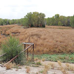
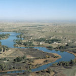
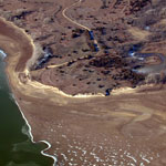
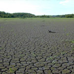
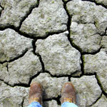
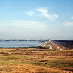
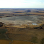 Dry Lake McKinney (Aerial)
 Little Lake in Horton
 Little Lake in Horton
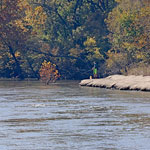
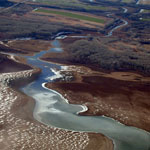
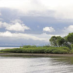
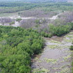 Neosho River (Aerial)
 Neosho River (Aerial)
 Neosho River (Aerial)
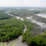
 John Redmond Reservoir and Dam (Aerial)
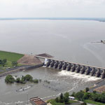 John Redmond Reservoir and Dam (Aerial)
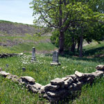 Early Settlers' Graves
 Fort Hays Limestone Formations at Cedar Bluff Reservoir
 Cedar Bluff Reservoir
 Kirwin Reservoir
 North Shore of Lake Wabaunsee
 Lake Inman (Aerial)
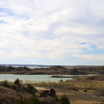
 Dry Lake (Aerial)
 Lake Hiawatha
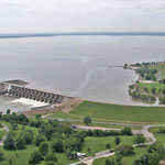
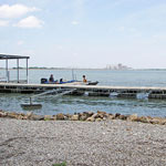 Wolf Creek Generating Station and Coffey County Lake
 Milford Lake at Wakefield
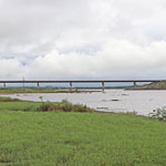 Bridge Crossing the Republican River/Milford Lake at Wakefield
Kansas Geological Survey · 1930 Constant Ave. · Lawrence, KS 66047-3724
785-864-3965 · Comments to webadmin@kgs.ku.edu
Updated April 2018
Website Terms of Use
Log In
