21 records returned. Select photo to view larger version.
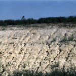 Silty Sand Over Ash
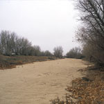
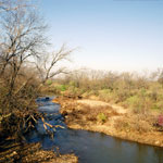
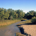 Medicine Lodge River
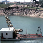 Steele Sand Plant at Hutchinson
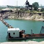 Steele Sand Plant at Hutchinson
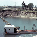 Steele Sand Plant at Hutchinson
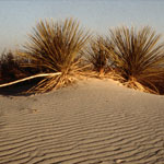
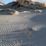
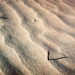 Sand Dunes
 Nordhus sand, East of Marysville
 Tracks in Dry Riverbed
 Cimarron River near Wagon Bed Springs
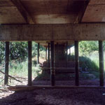 Highway Bridge Over Dry Arkansas River
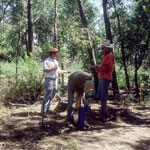
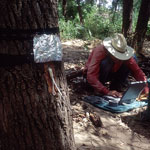 Monitoring Water Uptake in Trees
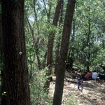 Tagged Trees for Riparian Water Use Measurements
 Groundwater Measurement Along Dry Riverbed
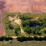 Abandoned Sand Pit (Aerial)
 Dry Channel of Cimarron River
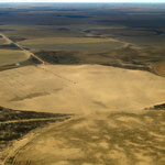 Blown Sand in Field (Aerial)
 Spring Flow on Cimarron River
 Bike Tracks in Cimarron Riverbed
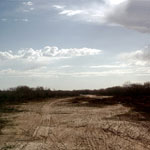
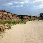
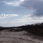
 Sand Hills
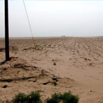 Blown Sand Across Cultivated Field
 Sand Hills
Kansas Geological Survey · 1930 Constant Ave. · Lawrence, KS 66047-3724
785-864-3965 · Comments to webadmin@kgs.ku.edu
Updated April 2018
Website Terms of Use
Log In
