|
1
||
2
||
3
|
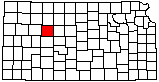
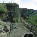
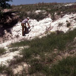
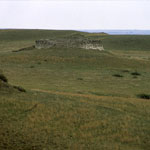
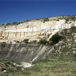
Wildcat Canyon
|
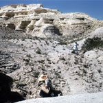
Wildcat Canyon
|
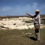
Wildcat Canyon
|
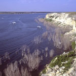
Cedar Bluff Reservoir
|
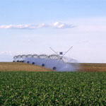
Center-Pivot Irrigation
|
Fort Hays Limestone at Cedar Bluff Reservoir
|
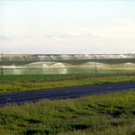
Irrigation Systems Along Interstate 70
|
Ash Deposit
|
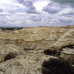
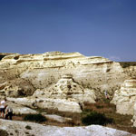
Wildcat Canyon
|
Wildcat Canyon
|
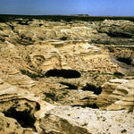
Chalk and Shale
|
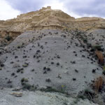
Chalk Butte
|
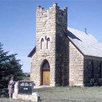
Emmanuel Lutheran Church
|
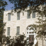
Trego County Courthouse
|
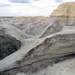
Wildcat Canyon
|
Pfeifer Shale Member at Carlile Shale Base
|
Wildcat Canyon
|
Wildcat Canyon
|
|
1
||
2
||
3
|
|