|
1
||
2
||
3
||
4
||
5
|
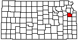
Independent Drill Crew
|
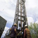
Bowersock Dam (Aerial)
|
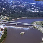
Shunganunga Boulder (Founder's Rock) and Lawrence City Hall
|
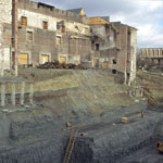
Hoch Auditorium Excavation
|
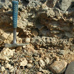
Glacial Till Congomerate
|
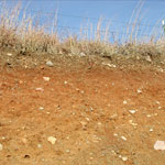
Pleistocene Deposits
|
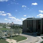
Kansas Geological Survey
|
Kansas Geological Survey
|
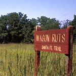
Santa Fe Trail Ruts
|
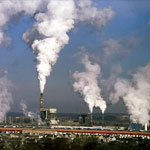
Lawrence Energy Center
|
Kansas Geological Survey
|
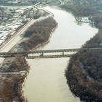
Kansas River Bridges (Aerial)
|
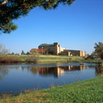
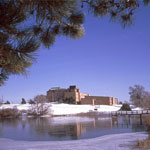
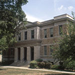
Case Hall at Baker University
|
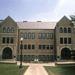
Memorial Hall at Baker University
|
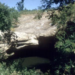
Hole in the Rock, Ireland Sandstone
|
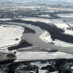
Kansas River at Eudora (Aerial)
|
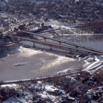
Kansas River Bridges and Bowersock Dam (Aerial)
|
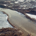
Delaware River and Lecompton on the Kansas River (Aerial)
|
|
1
||
2
||
3
||
4
||
5
|