|
1
||
2
||
3
|
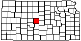
Cheyenne Bottoms Wildlife Area
|
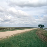
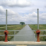
Diversion Dam on the Arkansas River near Dundee
|
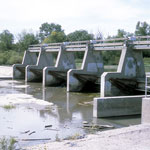
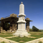
Pawnee Rock
|
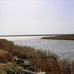
Cheyenne Bottoms Wildlife Area
|
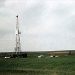
Oil-Drilling Rig
|
Pawnee Rock
|
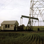
Oil Field
|
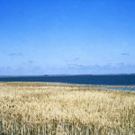
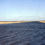
Cheyenne Bottoms Wildlife Area
|
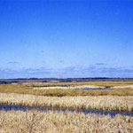
Cheyenne Bottoms Wildlife Area
|
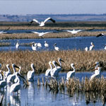
Cheyenne Bottoms Wildlife Area
|
Cheyenne Bottoms Wildlife Area
|
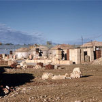
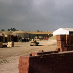
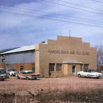
Kansas Brick & Tile Company near Hoisington
|
Kansas Brick & Tile Company near Hoisington
|
Kansas Brick & Tile Company near Hoisington
|
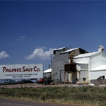
Pawnee Salt Company
|
Kansas Brick & Tile Company
|
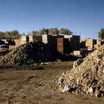
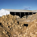
Kansas Brick & Tile Company Quarry
|
Cheyenne Bottoms Wildlife Area
|
|
1
||
2
||
3
|