|
1
||
2
||
3
||
4
|
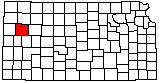
Fick Fossil and History Museum
|
Volcanic Ash

|
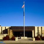
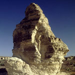
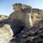
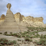
Little Pyramids
|
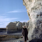
Little Pyramids (Aerial)
|
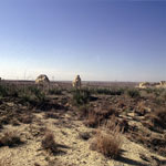
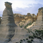
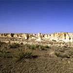
Little Jerusalem Badlands
|
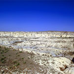
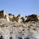
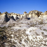
Eroded Chalk and Shale Badlands
|
Niobrara Chalk
|
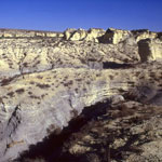
Little Jerusalem Badlands
|
Little Jerusalem Badlands
|
Little Jerusalem Badlands
|
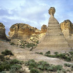
Little Pyramids
|
Eroded Chalk and Shale Badlands
|
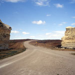
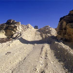
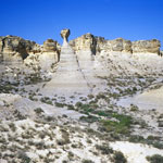
Trail into Chalk Canyon
|
Little Jerusalem Badlands
|
Little Jerusalem
|
Little Jerusalem Badlands
|
Little Jerusalem Badlands
|
Little Jerusalem Badlands
|
|
1
||
2
||
3
||
4
|