|
1
||
2
||
3
||
4
|
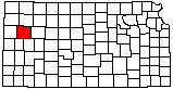
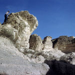
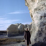
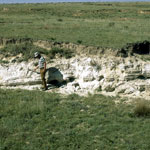
Niobrara Chalk
|
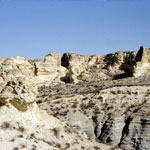
Trail into Chalk Canyon
|
Niobrara Chalk Formations (Aerial)
|
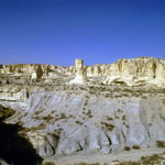
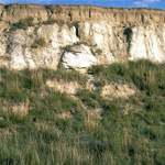
Little Jerusalem Badlands
|
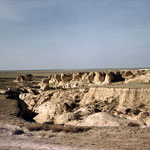
Eroded Chalk and Shale Beds
|
Little Jerusalem Badlands
|
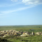
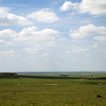
Little Jerusalem and the Smoky Hill River Valley
|
Chalk Bluffs West of Elkader
|
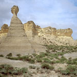
Little Pyramids
|
Little Jerusalem Badlands
|
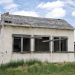
Abandoned One-Room Schoolhouse
|
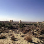
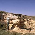
Volcanic Ash
|
Distant View to Monument Rocks
|
Volcanic Ash Over Niobrara Chalk
|
Volcanic Ash Outcrop
|
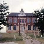
Old Logan County Courthouse (Butterfield Trail Historical Museum)
|
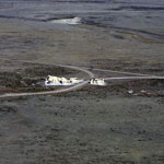
Little Pyramids (Aerial)
|
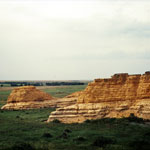
Chalk Bluffs
|
|
1
||
2
||
3
||
4
|