|
1
||
2
||
3
||
4
||
5
||
6
||
7
||
8
||
9
||
10
||
11
||
12
||
13
||
14
||
15
||
16
||
17
||
18
||
19
||
20
||
21
||
22
||
23
||
24
||
25
||
26
||
27
||
28
||
29
||
30
||
31
||
32
||
33
||
34
||
35
||
36
||
37
||
38
||
39
||
40
||
41
||
42
||
43
||
44
||
45
||
46
||
47
||
48
||
49
||
50
||
51
||
52
||
53
||
54
||
55
||
56
||
57
||
58
|
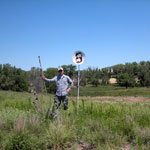
Abandoned Golf Course at Cutting Lake
|
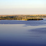
Keith Sebelius Lake
|
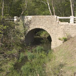
Chicken Creek Bridge
|
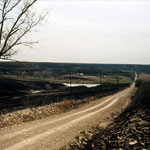
Burnt Range in the Flint Hills
|
Elk Falls
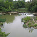
|
Sand Dredging Along the Smoky Hill River (Aerial)
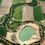
|
Flint Hills
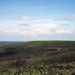
|
Spring Flow on Cimarron River
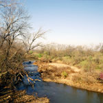
|
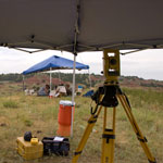
Geoarchaeology Excavation Site
|
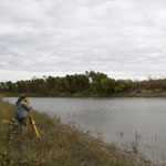
Total Station Measurements at Coffey Geoarchaeology Site
|
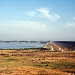
Kirwin Reservoir
|
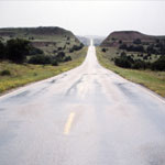
Red Hills
|
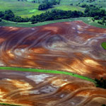
Ninnescah Shale in Contoured Field (Aerial)
|
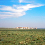
Monument Rocks
|
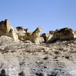
Little Jerusalem Badlands
|
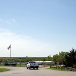
North Shore of Lake Wabaunsee
|
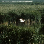
Egret at Jamestown Wildlife Area
|
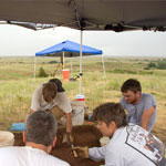
Geoarchaeology Excavation Site
|
|
1
||
2
||
3
||
4
||
5
||
6
||
7
||
8
||
9
||
10
||
11
||
12
||
13
||
14
||
15
||
16
||
17
||
18
||
19
||
20
||
21
||
22
||
23
||
24
||
25
||
26
||
27
||
28
||
29
||
30
||
31
||
32
||
33
||
34
||
35
||
36
||
37
||
38
||
39
||
40
||
41
||
42
||
43
||
44
||
45
||
46
||
47
||
48
||
49
||
50
||
51
||
52
||
53
||
54
||
55
||
56
||
57
||
58
|