|
1
||
2
||
3
||
4
||
5
||
6
||
7
||
8
||
9
||
10
||
11
||
12
||
13
||
14
||
15
||
16
||
17
||
18
||
19
||
20
||
21
||
22
||
23
||
24
||
25
||
26
||
27
||
28
||
29
||
30
||
31
||
32
||
33
||
34
||
35
||
36
||
37
||
38
||
39
||
40
||
41
||
42
||
43
||
44
||
45
||
46
||
47
||
48
||
49
||
50
||
51
||
52
||
53
||
54
||
55
||
56
||
57
||
58
|
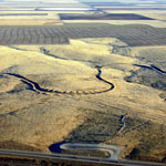
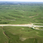
Soule Canal and Santa Fe Trail Ruts (Aerial)
|
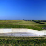
Keith Sebelius Lake Spillway
|
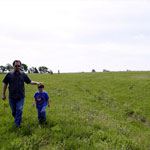
Santa Fe Trail Ruts
|
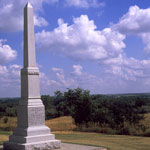
Zebulon Pike Monument at Pawnee Indian Village
|
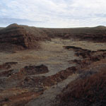
Red Beds
|
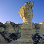
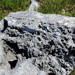
Cobra Rock
|
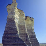
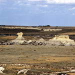
Monument Rocks
|
Flint Hills after Prairie Fire
|
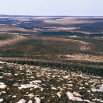
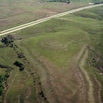
Flint Hills Pasture (Aerial)
|
Eastern Edge of the Flint Hills (Aerial)
|
Meander Tributary to Arkansas River (Aerial)
|
Dry Arkansas River (Aerial)
|
Chalk Outcrops
|
Niobrara Chalk Outcrops
|
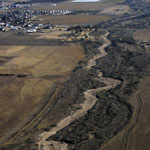
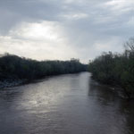
Verdigris River
|
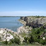
Cedar Bluff Reservoir
|
Blowout in Sand Dunes
|
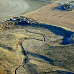
Dissolution of Limestone on Konza Prairie
|
|
1
||
2
||
3
||
4
||
5
||
6
||
7
||
8
||
9
||
10
||
11
||
12
||
13
||
14
||
15
||
16
||
17
||
18
||
19
||
20
||
21
||
22
||
23
||
24
||
25
||
26
||
27
||
28
||
29
||
30
||
31
||
32
||
33
||
34
||
35
||
36
||
37
||
38
||
39
||
40
||
41
||
42
||
43
||
44
||
45
||
46
||
47
||
48
||
49
||
50
||
51
||
52
||
53
||
54
||
55
||
56
||
57
||
58
|