|
1
||
2
||
3
||
4
||
5
||
6
||
7
||
8
||
9
||
10
||
11
||
12
||
13
||
14
||
15
||
16
||
17
||
18
||
19
||
20
||
21
||
22
||
23
||
24
||
25
||
26
||
27
||
28
||
29
||
30
||
31
||
32
||
33
||
34
||
35
||
36
||
37
||
38
||
39
||
40
||
41
||
42
||
43
||
44
||
45
||
46
||
47
||
48
||
49
||
50
||
51
||
52
||
53
||
54
||
55
||
56
||
57
||
58
|
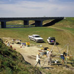
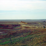
Middle Beaver Creek Excavation Site #5
|
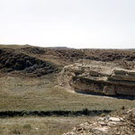
Faulted Area in Chalk Exposure
|
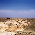
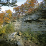
Chalk Outcrops
|
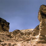
Cobra Rock (1963)
|
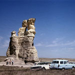
Castle Rock—East Side
|
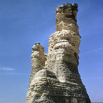
Castle Rock (1963)
|
Niobrara Chalk Outcrops
|
Chalk Bluffs
|
Echo Cliff
|
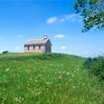
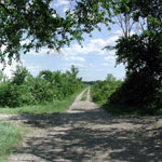
Lower Fox Creek School at Tallgrass Prairie National Preserve
|
Ogallala Formation Outcrop
|
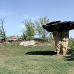
Mushroom Rock State Park
|
Baker Wetlands
|
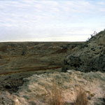
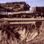
Blown-Out Mine Shaft
|
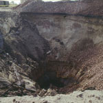
Blown-Out Mine Shaft
|
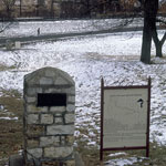
Santa Fe Trail and Oregon Trail Marker at Fort Leavenworth
|
Niobrara Chalk Formations (Aerial)
|
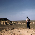
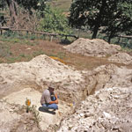
Excavation Near Rock Shelter on Burntwood Creek
|
|
1
||
2
||
3
||
4
||
5
||
6
||
7
||
8
||
9
||
10
||
11
||
12
||
13
||
14
||
15
||
16
||
17
||
18
||
19
||
20
||
21
||
22
||
23
||
24
||
25
||
26
||
27
||
28
||
29
||
30
||
31
||
32
||
33
||
34
||
35
||
36
||
37
||
38
||
39
||
40
||
41
||
42
||
43
||
44
||
45
||
46
||
47
||
48
||
49
||
50
||
51
||
52
||
53
||
54
||
55
||
56
||
57
||
58
|