|
1
||
2
||
3
||
4
||
5
||
6
||
7
||
8
||
9
||
10
||
11
||
12
||
13
||
14
||
15
||
16
||
17
||
18
||
19
||
20
||
21
||
22
||
23
||
24
||
25
||
26
||
27
||
28
||
29
||
30
||
31
||
32
||
33
||
34
||
35
||
36
||
37
||
38
||
39
||
40
||
41
||
42
||
43
||
44
||
45
||
46
||
47
||
48
||
49
||
50
||
51
||
52
||
53
||
54
||
55
||
56
||
57
||
58
|
Igneous Glacial Drift
|
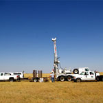
Core Drilling
|
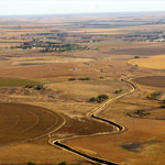
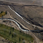
Amazon Canal (Aerial)
|
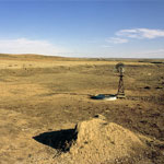
Small, Empty Playa
|
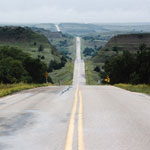
Red Hills/Gypsum Hills Scenic Byway
|
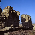
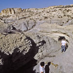
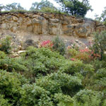
Chalk Outcrops Near Castle Rock
|
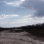
Bike Tracks in Cimarron Riverbed
|
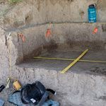
Tool Fragment Discovery Site
|
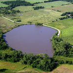
Water-Filled Sinkhole (Aerial)
|
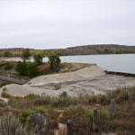
Lake Scott Spillway and Dam
|
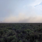
Dust Storm
|
Niobrara Chalk Canyons at Little Jerusalem Badlands
|
Amazon Canal (Aerial)
|
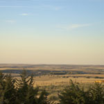
Smoky Hill River Valley
|
Fort Hays Limestone Member
|
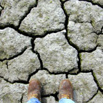
Mud Cracks at Lovewell Reservoir
|
Agave Ridge Trail at Cedar Bluff State Park
|
Playa
|
|
1
||
2
||
3
||
4
||
5
||
6
||
7
||
8
||
9
||
10
||
11
||
12
||
13
||
14
||
15
||
16
||
17
||
18
||
19
||
20
||
21
||
22
||
23
||
24
||
25
||
26
||
27
||
28
||
29
||
30
||
31
||
32
||
33
||
34
||
35
||
36
||
37
||
38
||
39
||
40
||
41
||
42
||
43
||
44
||
45
||
46
||
47
||
48
||
49
||
50
||
51
||
52
||
53
||
54
||
55
||
56
||
57
||
58
|