|
1
||
2
||
3
||
4
||
5
||
6
||
7
||
8
||
9
||
10
||
11
||
12
||
13
||
14
||
15
||
16
||
17
||
18
||
19
||
20
||
21
||
22
||
23
||
24
||
25
||
26
||
27
||
28
||
29
||
30
||
31
||
32
||
33
||
34
||
35
||
36
||
37
||
38
||
39
||
40
||
41
||
42
||
43
||
44
||
45
||
46
||
47
||
48
||
49
||
50
||
51
||
52
||
53
||
54
||
55
||
56
||
57
||
58
|
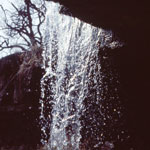
Alcove Spring
|
Wildcat Canyon
|
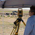
Measuring Excavation Site
|
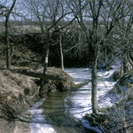
Paradise Creek
|
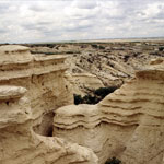
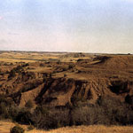
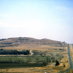
Red Hills
|
Red Hills
|
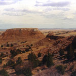
Cuesta Topography
|
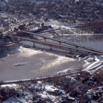
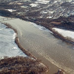
Kansas River Bridges and Bowersock Dam (Aerial)
|
Delaware River and Lecompton on the Kansas River (Aerial)
|
Osro Falls
|
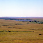
Chase County Pasture
|
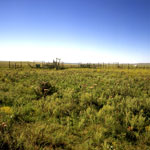
Corral on Open Range
|
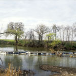
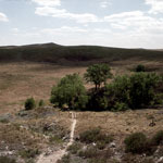
St. Jacob's Well in Little Basin
|
Flooding on Arkansas River
|
Cheyenne Bottoms Wildlife Area
|
Peoria Formation over Loveland Formation
|
Buffalo Mound
|
St. Jacob's Well in Little Basin
|
|
1
||
2
||
3
||
4
||
5
||
6
||
7
||
8
||
9
||
10
||
11
||
12
||
13
||
14
||
15
||
16
||
17
||
18
||
19
||
20
||
21
||
22
||
23
||
24
||
25
||
26
||
27
||
28
||
29
||
30
||
31
||
32
||
33
||
34
||
35
||
36
||
37
||
38
||
39
||
40
||
41
||
42
||
43
||
44
||
45
||
46
||
47
||
48
||
49
||
50
||
51
||
52
||
53
||
54
||
55
||
56
||
57
||
58
|