|
1
||
2
||
3
||
4
||
5
||
6
||
7
||
8
||
9
||
10
||
11
||
12
||
13
||
14
||
15
||
16
||
17
||
18
||
19
||
20
||
21
||
22
||
23
||
24
||
25
||
26
||
27
||
28
||
29
||
30
||
31
||
32
||
33
||
34
||
35
||
36
||
37
||
38
||
39
||
40
||
41
||
42
||
43
||
44
||
45
||
46
||
47
||
48
||
49
||
50
||
51
||
52
||
53
||
54
||
55
||
56
||
57
||
58
|
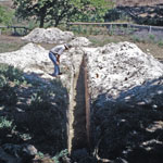
Dig Site Near Burntwood Creek
|
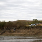
Coffey Geoarchaeology Site
|
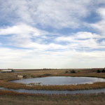
Crawford Sink
|
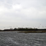
Migrating Snow Geese at Quivira National Wildlife Refuge
|
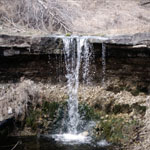
Alcove Spring
|
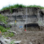
Buried Soils in Terrace Fill
|
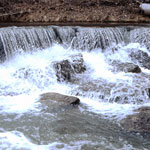
Collapsed Elmont Limestone Shelf at Pillsbury Crossing
|
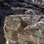
Spalled Chalk Outcrop Near Castle Rock
|
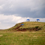
Geoarchaeology Excavation Site
|
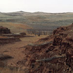
Red Hills
|
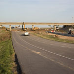
Crawford Sink Overpass Removal (Before)
|
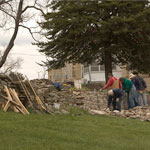
Rock Wall Restoration at the Tallgrass Prairie National Preserve
|
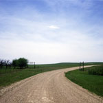
Gun Barrel Hill
|
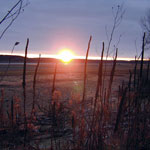
Sunset at Lovewell Reservoir
|
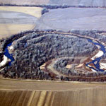
Republican River (Aerial)
|
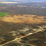
Old Center Pivot Irrigation Field in the Sand Hills (Aerial)
|
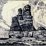
"The Prairie Castle" Lithograph by Birger Sandzen
|
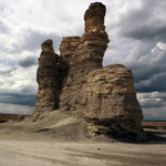
Castle Rock
|
|
1
||
2
||
3
||
4
||
5
||
6
||
7
||
8
||
9
||
10
||
11
||
12
||
13
||
14
||
15
||
16
||
17
||
18
||
19
||
20
||
21
||
22
||
23
||
24
||
25
||
26
||
27
||
28
||
29
||
30
||
31
||
32
||
33
||
34
||
35
||
36
||
37
||
38
||
39
||
40
||
41
||
42
||
43
||
44
||
45
||
46
||
47
||
48
||
49
||
50
||
51
||
52
||
53
||
54
||
55
||
56
||
57
||
58
|