|
1
||
2
||
3
||
4
||
5
||
6
||
7
||
8
||
9
||
10
||
11
||
12
||
13
||
14
||
15
||
16
||
17
||
18
||
19
||
20
||
21
||
22
||
23
||
24
||
25
||
26
||
27
||
28
||
29
||
30
||
31
||
32
||
33
||
34
||
35
||
36
||
37
||
38
||
39
||
40
||
41
||
42
||
43
||
44
||
45
||
46
||
47
||
48
||
49
||
50
||
51
||
52
||
53
||
54
||
55
||
56
||
57
||
58
|
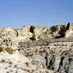
Niobrara Chalk
|
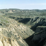
Arikaree Breaks
|
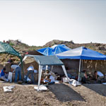
Excavation Site #6 at Beaver Creek
|
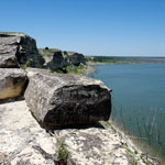
Fort Hays Limestone at Cedar Bluff Reservoir
|
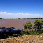
Lake Inman
|
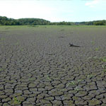
Mud Cracks at Lovewell Reservoir
|
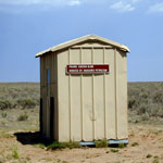
Prairie Chicken Blind at Cimarron National Grassland
|
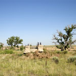
WPA Dam Fragment Near Bear Creek
|
Little Jerusalem and the Smoky Hill River Valley
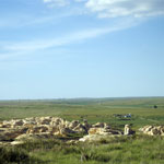
|
Geoarchaeology Excavation Site
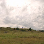
|
Blown Sand Across Cultivated Field
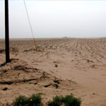
|
Cattle Disturbances Along Fence Line
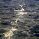
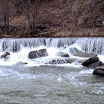
|
Pillsbury Crossing
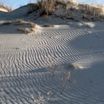
|
Sand Hills
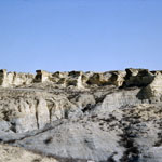
|
Niobrara Chalk Badlands
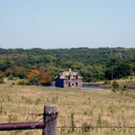
|
Abandoned Wood-Framed Farmhouse
|
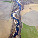
Republican River (Aerial)
|
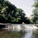
Buck Creek Falls
|
|
1
||
2
||
3
||
4
||
5
||
6
||
7
||
8
||
9
||
10
||
11
||
12
||
13
||
14
||
15
||
16
||
17
||
18
||
19
||
20
||
21
||
22
||
23
||
24
||
25
||
26
||
27
||
28
||
29
||
30
||
31
||
32
||
33
||
34
||
35
||
36
||
37
||
38
||
39
||
40
||
41
||
42
||
43
||
44
||
45
||
46
||
47
||
48
||
49
||
50
||
51
||
52
||
53
||
54
||
55
||
56
||
57
||
58
|