|
1
||
2
||
3
||
4
||
5
||
6
||
7
||
8
||
9
||
10
||
11
||
12
||
13
||
14
||
15
||
16
||
17
||
18
||
19
||
20
||
21
||
22
||
23
||
24
||
25
||
26
||
27
||
28
||
29
||
30
||
31
||
32
||
33
||
34
||
35
||
36
||
37
||
38
||
39
||
40
||
41
||
42
||
43
||
44
||
45
||
46
||
47
||
48
||
49
||
50
||
51
||
52
||
53
||
54
||
55
||
56
||
57
||
58
|
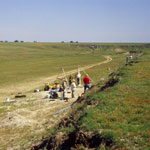
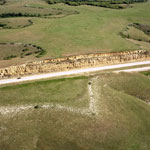
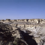
Beaver Creek Excavation Site
|
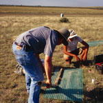
Core Samples
|
Middle Beaver Creek Excavation Site
|
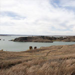
Trail to Rocktown Cove at Wilson Lake
|
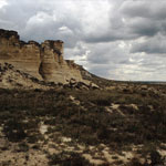
Chalk Bluff, Castle Rock in Distance
|
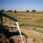
Sand Pit
|
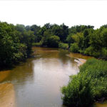
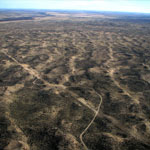
North Fork of the Ninnescah River
|
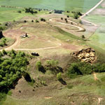
Mortar Bed in Horse Thief Canyon
|
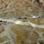
Pipeline Scar in Sand Hills (Aerial)
|
Dune Ridges (Aerial)
|
Devil's Canyon, Arikaree Breaks
|
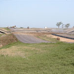
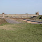
Crawford Sink Overpass Removal (After)
|
Crawford Sink Overpass Removal (Beginning)
|
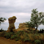
Camel Rock
|
Florence Limestone Overlain by Fort Riley Limestone (Aerial)
|
Coronado Heights (Aerial)
|
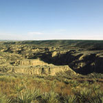
Little Jerusalem Badlands
|
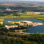
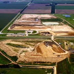
Reno County Landfill (Aerial)
|
|
1
||
2
||
3
||
4
||
5
||
6
||
7
||
8
||
9
||
10
||
11
||
12
||
13
||
14
||
15
||
16
||
17
||
18
||
19
||
20
||
21
||
22
||
23
||
24
||
25
||
26
||
27
||
28
||
29
||
30
||
31
||
32
||
33
||
34
||
35
||
36
||
37
||
38
||
39
||
40
||
41
||
42
||
43
||
44
||
45
||
46
||
47
||
48
||
49
||
50
||
51
||
52
||
53
||
54
||
55
||
56
||
57
||
58
|