|
1
||
2
||
3
||
4
||
5
||
6
||
7
||
8
||
9
||
10
||
11
||
12
||
13
||
14
||
15
||
16
||
17
||
18
||
19
||
20
||
21
||
22
||
23
||
24
||
25
||
26
||
27
||
28
||
29
||
30
||
31
||
32
||
33
||
34
||
35
||
36
||
37
||
38
||
39
||
40
||
41
||
42
||
43
||
44
||
45
||
46
||
47
||
48
||
49
||
50
||
51
||
52
||
53
||
54
||
55
||
56
||
57
||
58
|
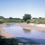
Salt Creek Near Geuda Springs Sanitarium
|
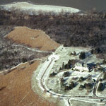
Cedar Crest and the Kansas River (Aerial)
|
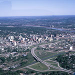
Downtown Topeka (Aerial)
|
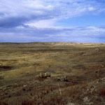
Big Basin Prairie Preserve
|
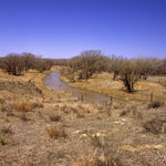
South Fork Republican River
|
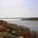
Cheyenne Bottoms Wildlife Area
|
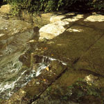
Waterfall, Atchison County
|
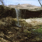
Alcove Spring
|
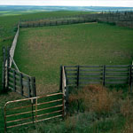
Bazaar Cattle Pens
|
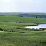
Flint Hills Open Range
|
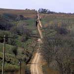
Loess Road
|
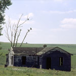
Turkey Vultures at Abandoned Farmhouse
|
Caney River
|
Missouri River from Leavenworth Esplanade
|
Cottonwood Falls on Cottonwood River
|
Collapsed Natural Bridge
|
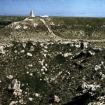
McBride Monument at Lake Scott State Park
|
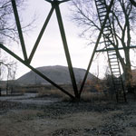
Mine Waste from Lead and Zinc Mining
|
|
1
||
2
||
3
||
4
||
5
||
6
||
7
||
8
||
9
||
10
||
11
||
12
||
13
||
14
||
15
||
16
||
17
||
18
||
19
||
20
||
21
||
22
||
23
||
24
||
25
||
26
||
27
||
28
||
29
||
30
||
31
||
32
||
33
||
34
||
35
||
36
||
37
||
38
||
39
||
40
||
41
||
42
||
43
||
44
||
45
||
46
||
47
||
48
||
49
||
50
||
51
||
52
||
53
||
54
||
55
||
56
||
57
||
58
|