KGS Photo Display System

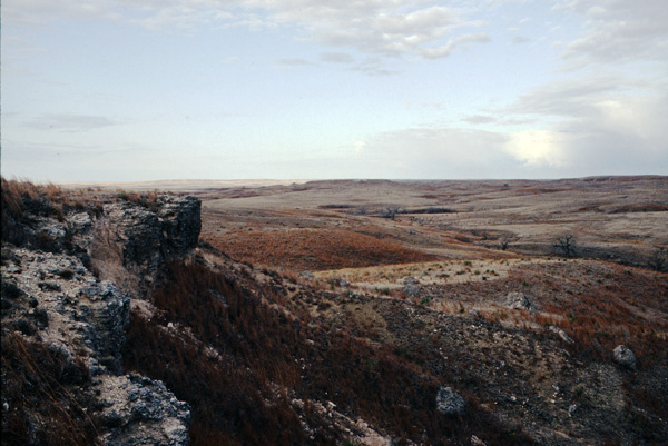
Spalled Ogallala Formation Mortar Beds
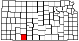
location map
Help Comments
County: Clark Subjects: Landscapes --Bluff
Landscapes --Sinkhole
Landscapes --Big Basin
Outcrops --Ogallala Formation

photo--if missing then file not yet transferred

Photo courtesy John Charlton/KGS.
Sometime between 1981 and 2010.

Kansas Geological Survey, Educational Resources
Feel free to use photos from the Kansas Geological Survey's collection for any non-commercial use.
Please credit the Kansas Geological Survey for photos you use.
Comments to webadmin@kgs.ku.edu
URL=http://www.kgs.ku.edu/Images/DB/index.html
Program updated Nov. 11, 2004. Photos added periodically.