KGS Photo Display System

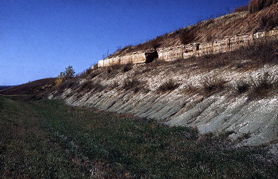
Roadcut Along U.S. Highway 40

location map
Help Comments
County: Wabaunsee Subjects: Outcrops --Cottonwood Limestone Member
Outcrops --Eskridge Shale
--Roadcut

photo--if missing then file not yet transferred

Photo courtesy Grace Muilenburg/KGS.
November 1960.

Kansas Geological Survey, Educational Resources
Feel free to use photos from the Kansas Geological Survey's collection for any non-commercial use.
Please credit the Kansas Geological Survey for photos you use.
Comments to webadmin@kgs.ku.edu
URL=http://www.kgs.ku.edu/Images/DB/index.html
Program updated Nov. 11, 2004. Photos added periodically.