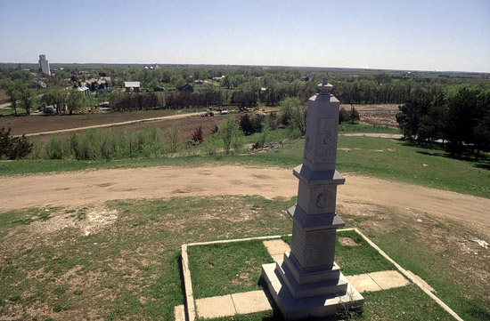
Pawnee Rock
|
|
|
|
|
Pawnee Rock
|
|
|
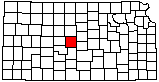
| County: Barton |
Subjects:
--Kansas State Historic Site
Architecture --Monument Outcrops --Dakota Formation Transportation --Santa Fe Trail Architecture --National Register of Historic Places --Pawnee Rock --Historic Site |
|
|
|
|
Photo courtesy John Charlton/KGS.
Pre 2010. | |