| Folder No. | County Name City |
Scanning | TSR | Quadrangle | Lat/Long | Project | Dates | Miscellaneous | Range of sheets | No. of sheets |
Cabinet | Notes |
|---|---|---|---|---|---|---|---|---|---|---|---|---|
|
Sheet 1, No. 331
View |
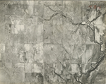
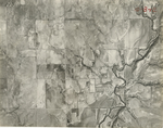
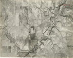
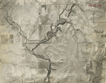
Chautauqua
Cedar Vale |
Scanned
(22 online) |
T. 32-35 S., R. 8 E. | Grenola, Cloverdale, Cedar Vale E |
37.138056
-96.48212 |
AH | 3-7-1937 and 11-22-1936 | Section E AH-73-37 to AH-73-50; Section C AH-22-79 to AH-22-86 | 22 | 7 | Folder labeled 10-B Flight line C Includes a card that says Substitute 22-85 for 73-54-13; 22-86 for 73-53-14; 22-86 for 52-15; 22-86 for 51-16 |
Click on any thumbnail to view a larger photo.
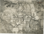
AH-22-79
|
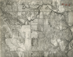
AH-22-80
|
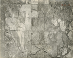
AH-22-81
|
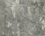
AH-22-82
|
AH-22-83
|
AH-22-84
|
AH-22-85
|
AH-22-86
|
AH-73-37
|
AH-73-38
|
AH-73-39
|
AH-73-40
|
AH-73-41
|
AH-73-42
|
AH-73-43
|
AH-73-44
|
AH-73-45
|
AH-73-46
|
AH-73-47
|
AH-73-48
|
AH-73-49
|
AH-73-50
|