| Folder No. | County Name City |
Scanning | TSR | Quadrangle | Lat/Long | Project | Dates | Miscellaneous | Range of sheets | No. of sheets |
Cabinet | Notes |
|---|---|---|---|---|---|---|---|---|---|---|---|---|
|
Sheet 1, No. 331
View |
Chautauqua
Cedar Vale |
Scanned
(22 online) |
T. 32-35 S., R. 8 E. | Grenola, Cloverdale, Cedar Vale E |
37.138056
-96.48212 |
AH | 3-7-1937 and 11-22-1936 | Section E AH-73-37 to AH-73-50; Section C AH-22-79 to AH-22-86 | 22 | 7 | Folder labeled 10-B Flight line C Includes a card that says Substitute 22-85 for 73-54-13; 22-86 for 73-53-14; 22-86 for 52-15; 22-86 for 51-16 |
Click on any thumbnail to view a larger photo.
|
AH-22-79
37.284247 -96.484655 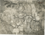
|
AH-22-80
37.270161 -96.485969 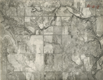
|
AH-22-81
37.258618 -96.486483 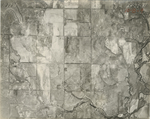
|
AH-22-82
37.248483 -96.485626 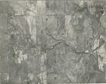
|
AH-22-83
37.236982 -96.486083 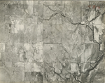
|
AH-22-84
37.225161 -96.485398 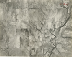
|
|
AH-22-85
37.213111 -96.484998 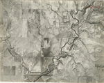
|
AH-22-86
37.200695 -96.482942 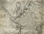
|
AH-73-37
36.99456 -96.480373 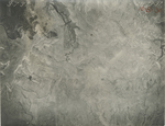
|
AH-73-38
37.007648 -96.479573 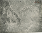
|
AH-73-39
37.021007 -96.479631 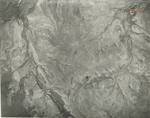
|
AH-73-40
37.032404 -96.479859 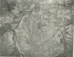
|
|
AH-73-41
37.046397 -96.479516 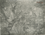
|
AH-73-42
37.059203 -96.4822 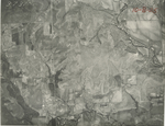
|
AH-73-43
37.074512 -96.481686 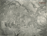
|
AH-73-44
37.085081 -96.481115 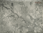
|
AH-73-45
37.099292 -96.481286 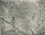
|
AH-73-46
37.11136 -96.481001 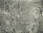
|
|
AH-73-47
37.123973 -96.480316 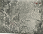
|
AH-73-48
37.136219 -96.479002 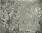
|
AH-73-49
37.147371 -96.479231 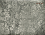
|
AH-73-50
37.160751 -96.479688 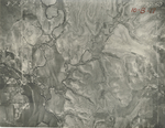
|