| Folder No. | County Name City |
Scanning | TSR | Quadrangle | Lat/Long | Project | Dates | Miscellaneous | Range of sheets | No. of sheets |
Cabinet | Notes |
|---|---|---|---|---|---|---|---|---|---|---|---|---|
|
Sheet 1, No. 427
View |
Cheyenne
No city |
Scanned
(19 online) |
T. 1-2 S., R. 40-41 W. | White Canyon |
39.943926
-101.813959 |
EW 12000 VDRA | 10-3-1974 | Flights 1, 2, 3, 4 | 1-13 to 17, 1-31 to 35, 1-58 to 61, 1-75 to 79 | 19 | 9 |
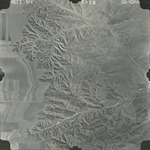
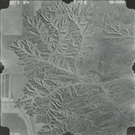
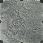
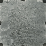
Click on any thumbnail to view a larger photo.
GS-VDRA_1-13
|
GS-VDRA_1-14
|
GS-VDRA_1-15
|
GS-VDRA_1-16
|
GS-VDRA_1-17
|
GS-VDRA_1-31
|
GS-VDRA_1-32
|
GS-VDRA_1-33
|
GS-VDRA_1-34
|
GS-VDRA_1-35
|
GS-VDRA_1-58
|
GS-VDRA_1-59
|
GS-VDRA_1-60
|
GS-VDRA_1-61
|
GS-VDRA_1-75
|
GS-VDRA_1-76
|
GS-VDRA_1-77
|
GS-VDRA_1-78
|
GS-VDRA_1-79
|