| Folder No. | County Name City |
Scanning | TSR | Quadrangle | Lat/Long | Project | Dates | Miscellaneous | Range of sheets | No. of sheets |
Cabinet | Notes |
|---|---|---|---|---|---|---|---|---|---|---|---|---|
|
Sheet 1, No. 427
View |
Cheyenne
No city |
Scanned
(19 online) |
T. 1-2 S., R. 40-41 W. | White Canyon |
39.943926
-101.813959 |
EW 12000 VDRA | 10-3-1974 | Flights 1, 2, 3, 4 | 1-13 to 17, 1-31 to 35, 1-58 to 61, 1-75 to 79 | 19 | 9 |
Click on any thumbnail to view a larger photo.
|
GS-VDRA_1-13
39.992513 -101.763038 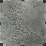
|
GS-VDRA_1-14
39.992034 -101.788019 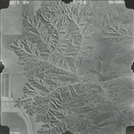
|
GS-VDRA_1-15
39.991341 -101.817453 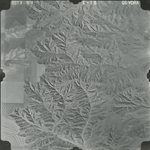
|
GS-VDRA_1-16
39.991447 -101.845843 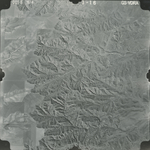
|
GS-VDRA_1-17
39.99166 -101.873398 
|
GS-VDRA_1-31
39.959613 -101.860038 
|
|
GS-VDRA_1-32
39.9594 -101.833109 
|
GS-VDRA_1-33
39.95812 -101.807572 
|
GS-VDRA_1-34
39.958173 -101.784052 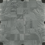
|
GS-VDRA_1-35
39.95892 -101.758098 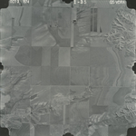
|
GS-VDRA_1-58
39.929472 -101.769788 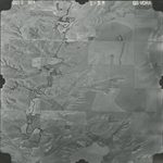
|
GS-VDRA_1-59
39.929151 -101.795047 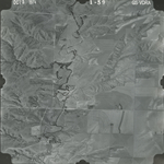
|
|
GS-VDRA_1-60
39.928938 -101.823994 
|
GS-VDRA_1-61
39.927497 -101.849948 
|
GS-VDRA_1-75
39.893124 -101.872702 
|
GS-VDRA_1-76
39.893658 -101.844938 
|
GS-VDRA_1-77
39.893338 -101.81961 
|
GS-VDRA_1-78
39.892964 -101.793168 
|
|
GS-VDRA_1-79
39.893231 -101.765404 
|