| Folder No. | County Name City |
Scanning | TSR | Quadrangle | Lat/Long | Project | Dates | Miscellaneous | Range of sheets | No. of sheets |
Cabinet | Notes |
|---|---|---|---|---|---|---|---|---|---|---|---|---|
|
Sheet 1, No. 105
View |
Barber
No city |
Scanned
(8 online) |
T. 34 S., R. 12 and 13 W. | Medicine Lodge 4SW |
37.068472
-98.698309 |
GS-VCVH | 1-2-1972 | Flights 1, 2, 3, and 4 | 2:39, 41, 43, 61, 63, 95, 115, 119 | 8 | 2 | 3 BKS |
Click on any thumbnail to view a larger photo.
|
GS-VCVH-2-39
37.111947 -98.73653 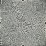
|
GS-VCVH-2-41
37.111903 -98.691712 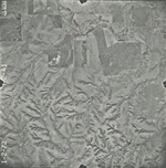
|
GS-VCVH-2-43
37.111751 -98.644183 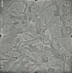
|
GS-VCVH-2-61
37.075081 -98.667797 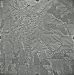
|
GS-VCVH-2-63
37.073443 -98.715906 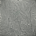
|
GS-VCVH-2-95
37.046195 -98.640176 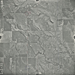
|
|
GS-VCVH-2-115
37.006141 -98.697042 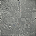
|
GS-VCVH-2-119
37.011313 -98.793126 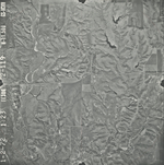
|