| Folder No. | County Name City |
Scanning | TSR | Quadrangle | Lat/Long | Project | Dates | Miscellaneous | Range of sheets | No. of sheets |
Cabinet | Notes |
|---|---|---|---|---|---|---|---|---|---|---|---|---|
|
Sheet 1, No. 106
View |
Barber
Hardtner NW |
Scanned
(10 online) |
T. 32 and 33 S., R. 12 and 13 W. | Medicine Lodge 4NW |
37.201133
-98.692566 |
GS-VCVH | 12-31-1971 | Flights 1, 2, 3, and 4 | 1:169, 171, 173, 175, 191, 193, 195, 227, 2:9, 11 | 10 | 2 |
Click on any thumbnail to view a larger photo.
|
GS-VCVH-1-169
37.211398 -98.788754 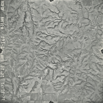
|
GS-VCVH-1-171
37.211396 -98.74153 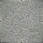
|
GS-VCVH-1-173
37.211172 -98.693507 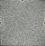
|
GS-VCVH-1-175
37.211435 -98.646769 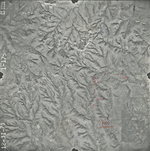
|
GS-VCVH-1-191
37.239534 -98.635631 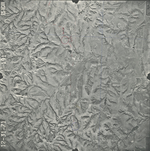
|
GS-VCVH-1-193
37.238718 -98.681272 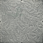
|
|
GS-VCVH-1-195
37.236367 -98.729717 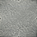
|
GS-VCVH-1-227
37.172959 -98.638175 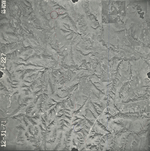
|
GS-VCVH-2-9
37.138683 -98.661446 
|
GS-VCVH-2-11
37.139663 -98.708859 
|