| Folder No. | County Name City |
Scanning | TSR | Quadrangle | Lat/Long | Project | Dates | Miscellaneous | Range of sheets | No. of sheets |
Cabinet | Notes |
|---|---|---|---|---|---|---|---|---|---|---|---|---|
|
Sheet 1, No. 107
View |
Barber
Isabel |
Scanned
(14 online) |
T. 30 S., R. 11 and 12 W. | Medicine Lodge 1NE |
37.4428
-98.520061 |
GS-VCVH | 12-18-1971 | Flights 1, 2, 3, and 4 | 1:1, 3, 5, 7, 35, 39, 40, 41, 43, 45, 47, 77, 79, 80 | 14 | 2 |
Click on any thumbnail to view a larger photo.
|
GS-VCVH-1-1
37.490454 -98.461996 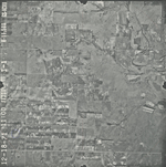
|
GS-VCVH-1-3
37.491469 -98.510586 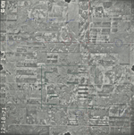
|
GS-VCVH-1-5
37.490286 -98.557476 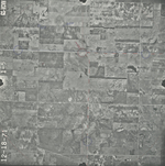
|
GS-VCVH-1-7
37.490342 -98.604543 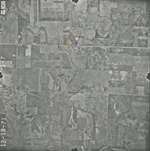
|
GS-VCVH-1-35
37.457714 -98.577328 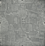
|
GS-VCVH-1-39
37.457947 -98.500005 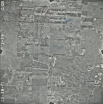
|
|
GS-VCVH-1-40
37.45854 -98.457411 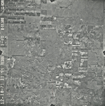
|
GS-VCVH-1-41
37.424166 -98.46029 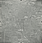
|
GS-VCVH-1-43
37.424402 -98.508889 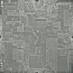
|
GS-VCVH-1-45
37.422383 -98.557772 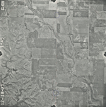
|
GS-VCVH-1-47
37.423803 -98.607809 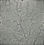
|
GS-VCVH-1-77
37.390273 -98.533754 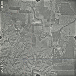
|
|
GS-VCVH-1-79
37.388381 -98.484523 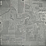
|
GS-VCVH-1-80
37.389042 -98.458466 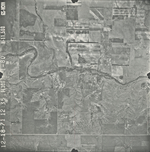
|