| Folder No. | County Name City |
Scanning | TSR | Quadrangle | Lat/Long | Project | Dates | Miscellaneous | Range of sheets | No. of sheets |
Cabinet | Notes |
|---|---|---|---|---|---|---|---|---|---|---|---|---|
|
Sheet 1, No. 110
View |
Barber
Hardtner |
Scanned
(9 online) |
T. 31-32 S., R. 12-13 W. | Medicine Lodge SW |
37.31526
-98.702645 |
GS-VCVH | 12-18-1971 and 12-31-1971 | Flights 1, 2, 3, and 4; Dir. and F.H. VCVH EW 115000 | 1:89, 91, 93, 109, 111, 127, 129, 147, 149 | 9 | 2 |
Click on any thumbnail to view a larger photo.
|
GS-VCVH-1-89
37.359457 -98.65262 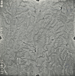
|
GS-VCVH-1-91
37.359186 -98.703172 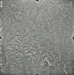
|
GS-VCVH-1-93
37.359581 -98.752893 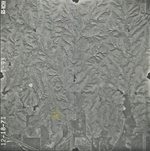
|
GS-VCVH-1-109
37.32613 -98.666895 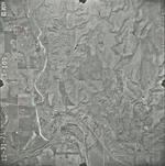
|
GS-VCVH-1-111
37.32574 -98.718637 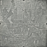
|
GS-VCVH-1-127
37.293993 -98.746938 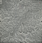
|
|
GS-VCVH-1-129
37.294383 -98.696416 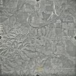
|
GS-VCVH-1-147
37.258933 -98.667744 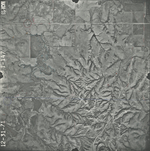
|
GS-VCVH-1-149
37.259935 -98.718488 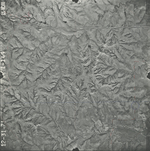
|