| Folder No. | County Name City |
Scanning | TSR | Quadrangle | Lat/Long | Project | Dates | Miscellaneous | Range of sheets | No. of sheets |
Cabinet | Notes |
|---|---|---|---|---|---|---|---|---|---|---|---|---|
|
Sheet 1, No. 114
View |
Barber
Kiowa |
Scanned
(7 online) |
T. 35 S., R. 11-12 W. | Medicine Lodge 4SE |
37.053773
-98.481841 |
GS-VCVH | 1-2-1972 | Flights 1, 2, 3, and 4 | 2-44 to 2-111 | 7 | 2 |
Click on any thumbnail to view a larger photo.
|
GS-VCVH-2-52
37.077268 -98.455748 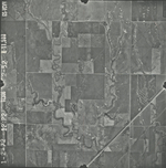
|
GS-VCVH-2-53
37.077514 -98.478269 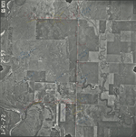
|
GS-VCVH-2-59
37.075984 -98.622433 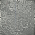
|
GS-VCVH-2-102
37.044797 -98.474676 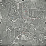
|
GS-VCVH-2-103
37.046143 -98.450248 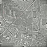
|
GS-VCVH-2-104
37.045842 -98.430136 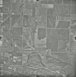
|
|
GS-VCVH-2-105
37.008866 -98.461379 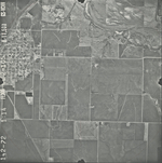
|