| Folder No. | County Name City |
Scanning | TSR | Quadrangle | Lat/Long | Project | Dates | Miscellaneous | Range of sheets | No. of sheets |
Cabinet | Notes |
|---|---|---|---|---|---|---|---|---|---|---|---|---|
|
Sheet 1, No. 116
View |
Barber
Sun City |
Scanned
(12 online) |
T. 30-31 S., R. 15 W. | Medicine Lodge 2NE |
37.426199
-98.877391 |
GS-VCVH | 12-18-1971 | Flights 1, 2, 3, and 4; Dir. and F.W. VCVH EW 11500 | 20-14; 21-27; 60-53; 61-67 | 12 | 2 |
Click on any thumbnail to view a larger photo.
|
GS-VCVH-1-19
37.490687 -98.890468 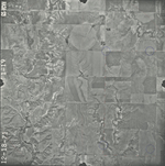
|
GS-VCVH-1-20
37.488859 -98.915273 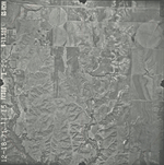
|
GS-VCVH-1-21
37.455304 -98.915185 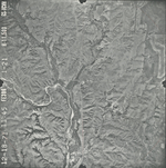
|
GS-VCVH-1-23
37.457949 -98.867182 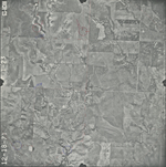
|
GS-VCVH-1-57
37.42391 -98.850099 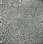
|
GS-VCVH-1-59
37.42255 -98.894604 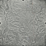
|
|
GS-VCVH-1-60
37.422222 -98.919833 
|
GS-VCVH-1-61
37.388309 -98.91854 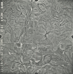
|
GS-VCVH-1-62
37.389627 -98.892159 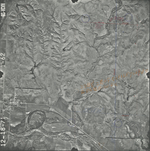
|
GS-VCVH-1-63
37.389959 -98.870191 
|
GS-VCVH-1-65
37.391834 -98.820597 
|
GS-VCVH-1-67
37.393179 -98.774565 
|