| Folder No. | County Name City |
Scanning | TSR | Quadrangle | Lat/Long | Project | Dates | Miscellaneous | Range of sheets | No. of sheets |
Cabinet | Notes |
|---|---|---|---|---|---|---|---|---|---|---|---|---|
|
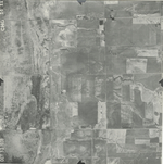
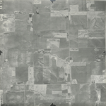
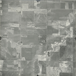
Sheet 1, No. 120
View |
Barton
Hoisington |
Scanned
(11 online) |
T. 18-20. S., R. 12-13 W. |
38.390911
-98.700859 |
CHG | 10-13-1938 | AAA 1:20000 | 14-03 to 14-13 | 11 | 3 |
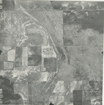
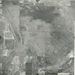
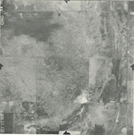
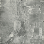
Click on any thumbnail to view a larger photo.
CHG-14-03
|
CHG-14-04
|
CHG-14-05
|
CHG-14-06
|
CHG-14-07
|
CHG-14-08
|
CHG-14-09
|
CHG-14-10
|
CHG-14-11
|
CHG-14-12
|
CHG-14-13
|