| Folder No. | County Name City |
Scanning | TSR | Quadrangle | Lat/Long | Project | Dates | Miscellaneous | Range of sheets | No. of sheets |
Cabinet | Notes |
|---|---|---|---|---|---|---|---|---|---|---|---|---|
|
Sheet 1, No. 122
View |
Barton
No city |
Scanned
(8 online) |
T. 18-20. S., R. 14 W. |
38.465946
-98.610889 |
CHG | 10-13-1938 | 13-04 to 13-11 | 8 | 3 |
Click on any thumbnail to view a larger photo.
|
CHG-13-4
38.518333 -98.610563 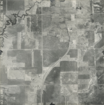
|
CHG-13-5
38.503611 -98.610563 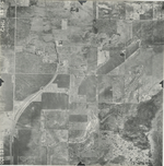
|
CHG-13-6
38.490786 -98.611898 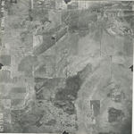
|
CHG-13-7
38.477816 -98.611837 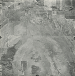
|
CHG-13-8
38.459569 -98.610259 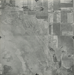
|
CHG-13-9
38.441364 -98.610016 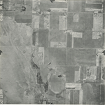
|
|
CHG-13-10
38.425628 -98.610623 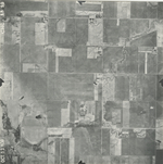
|
CHG-13-11
38.410459 -98.611352 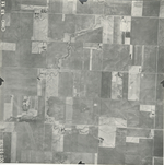
|