| Folder No. | County Name City |
Scanning | TSR | Quadrangle | Lat/Long | Project | Dates | Miscellaneous | Range of sheets | No. of sheets |
Cabinet | Notes |
|---|---|---|---|---|---|---|---|---|---|---|---|---|
|
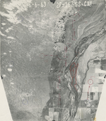
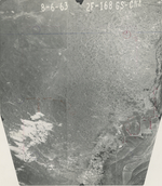
Sheet 1, No. 1219
View |
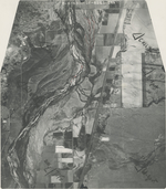
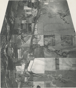
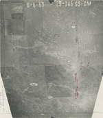
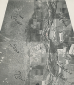
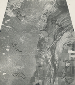
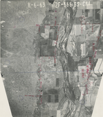
Hamilton
Syracuse |
Scanned
(14 online) |
T 24-25 S; R 39-41 W | Syracuse NW |
37.909696
-101.709247 |
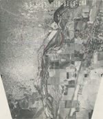
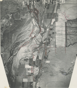
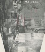
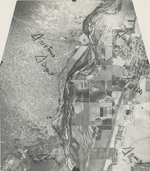
Syracuse GS-CNA | 8-6-1963 | Flights 1, 2, 3, and 4 EW 10500 | 1F-105 to 103; 1B-106 to 104; 1B-81 to 83; 1F-80 to 82; 2F-168 to 166; 2B-169 to 167; 2B-145 to 146; 2F-144 to 145 | 14 | 25 |
Click on any thumbnail to view a larger photo.
GS-CNA_1B-81
|
GS-CNA_1B-82
|
GS-CNA_1B-83
|
GS-CNA_1F-80
|
GS-CNA_1F-81
|
GS-CNA_1F-82
|
GS-CNA_2B-146
|
GS-CNA_2B-164
|
GS-CNA_2B-167
|
GS-CNA_2B-168
|
GS-CNA_2F-145
|
GS-CNA_2F-166
|
GS-CNA_2F-167
|
GS-CNA_2F-168
|