| Folder No. | County Name City |
Scanning | TSR | Quadrangle | Lat/Long | Project | Dates | Miscellaneous | Range of sheets | No. of sheets |
Cabinet | Notes |
|---|---|---|---|---|---|---|---|---|---|---|---|---|
|
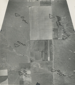
Sheet 1, No. 1225
View |
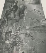
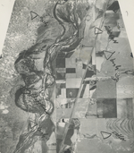
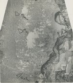
Hamilton
Syracuse |
Scanned
(10 online) |
T 23-25 S; R 40-42 W | Syracuse West NE |
37.957593
-101.816919 |
Syracuse GS-CNA | 8-6-1963 | Flights 1, 2, 3, and 4 EW 10500 | 1F-108 to 106; 1B-109 to 107; 1B-79 to 80; 1F-78 to 79; 2F-171 to 169; 2B-172 to 170; 2B-142 to 144; 2F-141 to 143 | 20 | 25 | Half of photos are copies; copies were not scanned. |
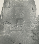
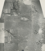
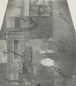
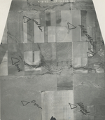
Click on any thumbnail to view a larger photo.
GS-CNA_1B-107
|
GS-CNA_1B-108
|
GS-CNA_1F-78
|
GS-CNA_1F-79
|
GS-CNA_2B-170
|
GS-CNA_2B-171
|
GS-CNA_2B-172
|
GS-CNA_2F-141
|
GS-CNA_2F-142
|
GS-CNA_2F-143
|