| Folder No. | County Name City |
Scanning | TSR | Quadrangle | Lat/Long | Project | Dates | Miscellaneous | Range of sheets | No. of sheets |
Cabinet | Notes |
|---|---|---|---|---|---|---|---|---|---|---|---|---|
|
Sheet 1, No. 124
View |
Barton
No city |
Scanned
(12 online) |
T. 18-20. S., R. 14 W. |
38.46821
-98.724255 |
CHG | 10-13-1938 | 14-124 to 14-135 | 12 | 3 |
Click on any thumbnail to view a larger photo.
|
CHG-14-124
38.388046 -98.726424 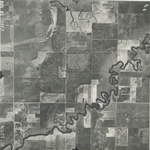
|
CHG-14-125
38.405267 -98.725559 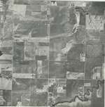
|
CHG-14-126
38.419146 -98.725492 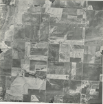
|
CHG-14-127
38.434535 -98.723162 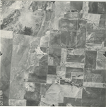
|
CHG-14-128
38.44554 -98.723295 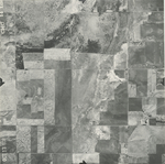
|
CHG-14-129
38.460401 -98.722296 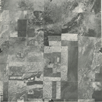
|
|
CHG-14-130
38.474895 -98.724293 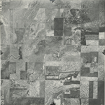
|
CHG-14-131
38.488604 -98.723961 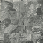
|
CHG-14-132
38.503926 -98.723494 
|
CHG-14-133
38.519348 -98.724227 
|
CHG-14-134
38.532268 -98.724626 
|
CHG-14-135
38.546539 -98.724227 
|