| Folder No. | County Name City |
Scanning | TSR | Quadrangle | Lat/Long | Project | Dates | Miscellaneous | Range of sheets | No. of sheets |
Cabinet | Notes |
|---|---|---|---|---|---|---|---|---|---|---|---|---|
|
Sheet 1, No. 1241
View |
Hamilton
No city |
Scanned
(16 online) |
T 23-25 S; R 41-43 W | Syracuse West NW |
37.957532
-101.926649 |
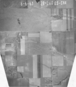
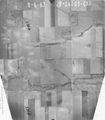
Syracuse GS-CNA | 8-6-1963 | Flights 1, 2, 3, and 4 EW 10500 | 1F-110 to 109; 1B-111 to 110; 1B-76 to 78; 1F-75 to 77; 2F-173 to 172; 2B-174 to 173; 2B-139 to 141; 2F-138 to 140 | 16 | 25 |
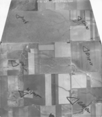
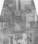
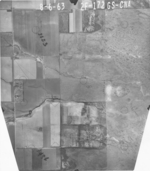
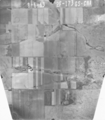
Click on any thumbnail to view a larger photo.
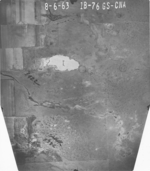
GS-CNA_1B-76
|
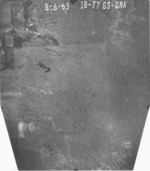
GS-CNA_1B-77
|
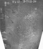
GS-CNA_1B-78
|
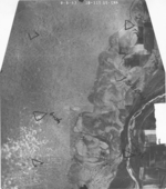
GS-CNA_1B-110
|
GS-CNA_1F-75
|
GS-CNA_1F-76
|
GS-CNA_1F-77
|
GS-CNA_1F-109
|
GS-CNA_2B-140
|
GS-CNA_2B-141
|
GS-CNA_2B-173
|
GS-CNA_2B-174
|
GS-CNA_2F-139
|
GS-CNA_2F-140
|
GS-CNA_2F-172
|
GS-CNA_2F-173
|