| Folder No. | County Name City |
Scanning | TSR | Quadrangle | Lat/Long | Project | Dates | Miscellaneous | Range of sheets | No. of sheets |
Cabinet | Notes |
|---|---|---|---|---|---|---|---|---|---|---|---|---|
|
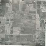
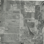
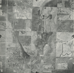
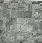
Sheet 1, No. 125
View |
Barton
Hoisington |
Scanned
(11 online) |
T. 18-20. S., R. 14 W. |
38.390729
-98.866776 |
CHG | 10-15-1938 | 14-162 to 14-172 | 11 | 3 | Photo 14-172 is labeled as confidential, and the photos in folders 118-131 all have disclaimers stamped on the back. |
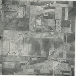
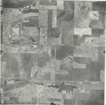
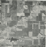
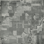
Click on any thumbnail to view a larger photo.
CHG-14-162
|
CHG-14-163
|
CHG-14-164
|
CHG-14-165
|
CHG-14-166
|
CHG-14-167
|
CHG-14-168
|
CHG-14-169
|
CHG-14-170
|
CHG-14-171
|
CHG-14-172
|