| Folder No. | County Name City |
Scanning | TSR | Quadrangle | Lat/Long | Project | Dates | Miscellaneous | Range of sheets | No. of sheets |
Cabinet | Notes |
|---|---|---|---|---|---|---|---|---|---|---|---|---|
|
Sheet 1, No. 134
View |
Neosho
Galesburg |
Scanned
(14 online) |
T. 29-30 S., R 18-19 E. | Parsons NE |
37.412924
-95.313068 |
NO | 5-17-1972 and 5-19-1972 | Flights 1, 2, 3, 4, and 5; FLT EW 12000 KHC | 135-139; 9-12; 54-50; 73-77; 119-116 | 14 | 3 | BK-1 Hartley. Was Barton County. |
Click on any thumbnail to view a larger photo.
|
NO-25-135
37.480801 -95.363659 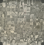
|
NO-25-137
37.483142 -95.309769 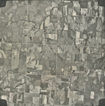
|
NO-25-139
37.483907 -95.256169 
|
NO-26-9
37.45181 -95.345789 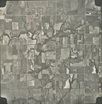
|
NO-26-11
37.452517 -95.296952 
|
NO-26-51
37.417636 -95.293883 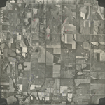
|
|
NO-26-53
37.41987 -95.343703 
|
NO-26-73
37.383154 -95.364059 
|
NO-26-75
37.389704 -95.318798 
|
NO-26-77
37.384313 -95.261722 
|
NO-26-116
37.354968 -95.267535 
|
NO-26-117
37.356682 -95.292795 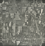
|
|
NO-26-118
37.360728 -95.318641 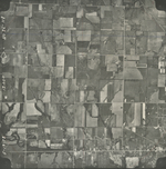
|
NO-26-119
37.361707 -95.349483 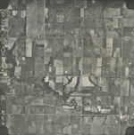
|