| Folder No. | County Name City |
Scanning | TSR | Quadrangle | Lat/Long | Project | Dates | Miscellaneous | Range of sheets | No. of sheets |
Cabinet | Notes |
|---|---|---|---|---|---|---|---|---|---|---|---|---|
|
Sheet 1, No. 1358
View |
Jefferson
McLouth |
Scanned
(4 online) |
T. 9-11 S., R. 19-20 E. | McLouth |
39.18844
-95.224242 |
Overbrook I.R. GS-VDBX | 12-2-1972 | Flights 1-3 EW 16000 | 1: 176-178, 194-191, 207-210 | 4 | 27 | Photos missing |
Click on any thumbnail to view a larger photo.
|
GS-VDBX-1-176
39.234845 -95.215808 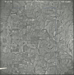
|
GS-VDBX-1-193
39.189643 -95.204406 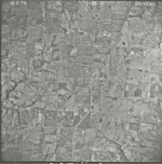
|
GS-VDBX-1-194
39.189876 -95.240672 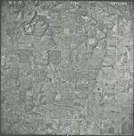
|
GS-VDBX-1-207
39.139396 -95.23608 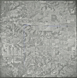
|