| Folder No. | County Name City |
Scanning | TSR | Quadrangle | Lat/Long | Project | Dates | Miscellaneous | Range of sheets | No. of sheets |
Cabinet | Notes |
|---|---|---|---|---|---|---|---|---|---|---|---|---|
|
Sheet 1, No. 1362
View |
Jefferson
Oskaloosa, Ozawkie |
Scanned
(19 online) |
T. 9-11 S., R. 17-20 E. | Oskaloosa |
39.172423
-95.347754 |
Overbrook I.R. GS-VDBX | 12-2-1972 | Flights 1-3 EW 16000 | 1: 169-175, 200-195, 201-206 | 21 | 27 | 2 photos included from 9-4-48 William Town flight #2 (13-163 and 13-162) |
Click on any thumbnail to view a larger photo.
|
GS-VDBX-1-169
39.234816 -95.457755 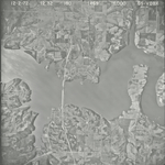
|
GS-VDBX-1-170
39.235073 -95.422721 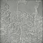
|
GS-VDBX-1-171
39.237297 -95.389795 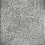
|
GS-VDBX-1-172
39.231693 -95.353854 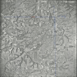
|
GS-VDBX-1-173
39.232051 -95.318676 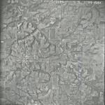
|
GS-VDBX-1-174
39.230707 -95.284199 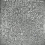
|
|
GS-VDBX-1-175
39.230531 -95.251432 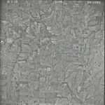
|
GS-VDBX-1-195
39.191429 -95.277532 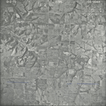
|
GS-VDBX-1-196
39.191428 -95.31219 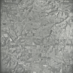
|
GS-VDBX-1-197
39.191781 -95.348427 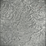
|
GS-VDBX-1-198
39.192573 -95.383169 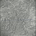
|
GS-VDBX-1-199
39.194406 -95.414728 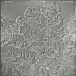
|
|
GS-VDBX-1-200
39.194558 -95.452008 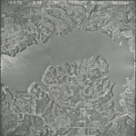
|
GS-VDBX-1-201
39.144445 -95.443914 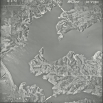
|
GS-VDBX-1-202
39.144636 -95.405881 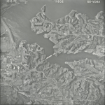
|
GS-VDBX-1-203
39.141969 -95.378043 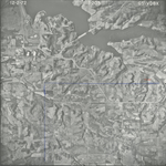
|
GS-VDBX-1-204
39.142064 -95.341967 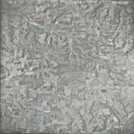
|
GS-VDBX-1-205
39.141863 -95.306399 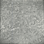
|
|
GS-VDBX-1-206
39.139964 -95.268431 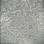
|