| Folder No. | County Name City |
Scanning | TSR | Quadrangle | Lat/Long | Project | Dates | Miscellaneous | Range of sheets | No. of sheets |
Cabinet | Notes |
|---|---|---|---|---|---|---|---|---|---|---|---|---|
|
Sheet 1, No. 1364
View |
Jefferson, Douglas
Perry, Lecompton |
Scanned
(29 online) |
T. 11-12 S., R. 17-19 E. | Perry |
39.064257
-95.411556 |
Topeka I.R. GS-VCMD | 10-15-1970, 10-4-1970, and 9-24-1970 | Flights 5-8 EW 12000 | 2: 47-41, 3: 3-9, 20-28, 1: 114-109 | 29 | 27 |
Click on any thumbnail to view a larger photo.
|
GS-VCMD-1-109
39.014832 -95.354013 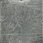
|
GS-VCMD-1-110
39.014774 -95.379084 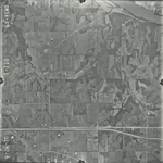
|
GS-VCMD-1-111
39.015005 -95.403237 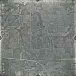
|
GS-VCMD-1-112
39.014774 -95.428741 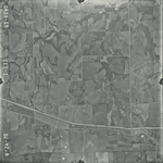
|
GS-VCMD-1-113
39.014831 -95.456469 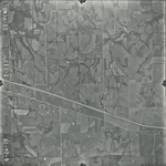
|
GS-VCMD-1-114
39.015757 -95.479318 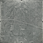
|
|
GS-VCMD-2-41
39.113202 -95.477294 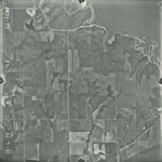
|
GS-VCMD-2-42
39.113569 -95.450819 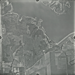
|
GS-VCMD-2-43
39.114196 -95.425663 
|
GS-VCMD-2-44
39.113455 -95.398386 
|
GS-VCMD-2-45
39.113626 -95.373116 
|
GS-VCMD-2-46
39.11221 -95.345725 
|
|
GS-VCMD-2-47
39.111762 -95.320225 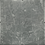
|
GS-VCMD-3-3
39.080166 -95.320375 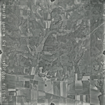
|
GS-VCMD-3-4
39.079796 -95.344818 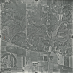
|
GS-VCMD-3-5
39.078675 -95.371245 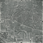
|
GS-VCMD-3-6
39.078967 -95.395867 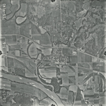
|
GS-VCMD-3-7
39.079202 -95.421162 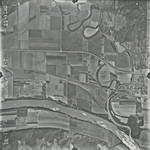
|
|
GS-VCMD-3-8
39.07932 -95.44752 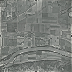
|
GS-VCMD-3-9
39.07932 -95.473186 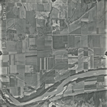
|
GS-VCMD-3-20
39.048971 -95.328148 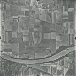
|
GS-VCMD-3-21
39.049738 -95.351533 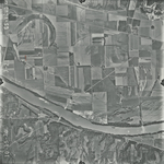
|
GS-VCMD-3-22
39.045903 -95.379023 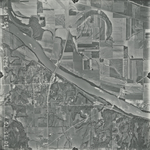
|
GS-VCMD-3-23
39.0476 -95.404794 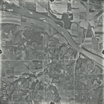
|
|
GS-VCMD-3-24
39.046877 -95.429578 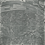
|
GS-VCMD-3-25
39.046229 -95.455748 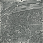
|
GS-VCMD-3-26
39.04694 -95.479807 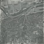
|
GS-VCMD-3-27
39.047008 -95.508611 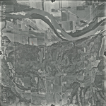
|
GS-VCMD-3-28
39.046746 -95.531628 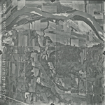
|