| Folder No. | County Name City |
Scanning | TSR | Quadrangle | Lat/Long | Project | Dates | Miscellaneous | Range of sheets | No. of sheets |
Cabinet | Notes |
|---|---|---|---|---|---|---|---|---|---|---|---|---|
|
Sheet 1, No. 1755
View |
Lyon, Wabaunsee, Greenwood, Morris, Chase
Dunlap |
Scanned
(47 online) |
T. 15-22 S., R. 9-10 E. |
38.453904
-96.354762 |
AT | 7-19-1944 | Flight 56-A | 1B: 47-1 | 47 | 34 |
Click on any thumbnail to view a larger photo.
|
AT-1B-1
38.154093 -96.357392 
|
AT-1B-2
38.164751 -96.356752 
|
AT-1B-3
38.176176 -96.356061 
|
AT-1B-4
38.190448 -96.356686 
|
AT-1B-5
38.203113 -96.356918 
|
AT-1B-6
38.216358 -96.356914 
|
|
AT-1B-7
38.229634 -96.356857 
|
AT-1B-8
38.245391 -96.356281 
|
AT-1B-9
38.259924 -96.356211 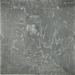
|
AT-1B-10
38.274032 -96.356332 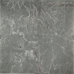
|
AT-1B-11
38.287767 -96.358231 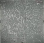
|
AT-1B-12
38.300257 -96.358012 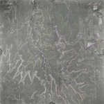
|
|
AT-1B-13
38.312007 -96.357263 
|
AT-1B-14
38.325671 -96.357997 
|
AT-1B-15
38.338804 -96.357422 
|
AT-1B-16
38.35144 -96.357705 
|
AT-1B-17
38.364621 -96.357531 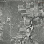
|
AT-1B-18
38.377254 -96.354931 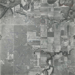
|
|
AT-1B-19
38.391042 -96.354919 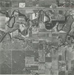
|
AT-1B-20
38.403808 -96.35486 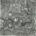
|
AT-1B-21
38.416789 -96.354561 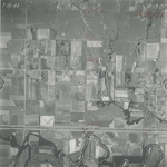
|
AT-1B-22
38.431774 -96.354526 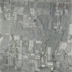
|
AT-1B-23
38.443225 -96.354453 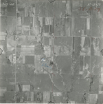
|
AT-1B-24
38.457317 -96.354304 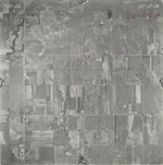
|
|
AT-1B-25
38.468761 -96.354084 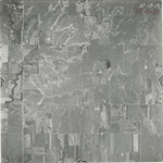
|
AT-1B-26
38.482228 -96.35401 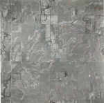
|
AT-1B-27
38.494684 -96.353636 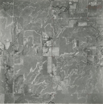
|
AT-1B-28
38.507266 -96.353628 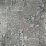
|
AT-1B-29
38.5207 -96.353777 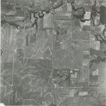
|
AT-1B-30
38.533131 -96.353778 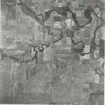
|
|
AT-1B-31
38.547139 -96.353778 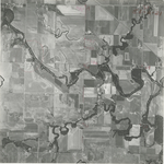
|
AT-1B-32
38.559065 -96.353588 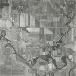
|
AT-1B-33
38.573587 -96.354667 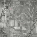
|
AT-1B-34
38.585794 -96.354558 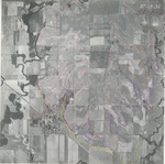
|
AT-1B-35
38.597516 -96.354267 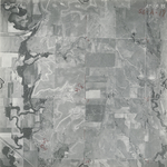
|
AT-1B-36
38.610228 -96.353405 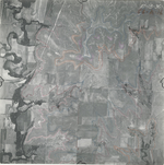
|
|
AT-1B-37
38.621469 -96.353821 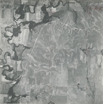
|
AT-1B-38
38.63483 -96.3531 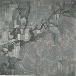
|
AT-1B-39
38.646638 -96.351084 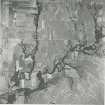
|
AT-1B-40
38.662108 -96.350937 
|
AT-1B-41
38.673594 -96.351834 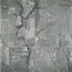
|
AT-1B-42
38.685483 -96.351658 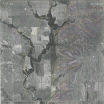
|
|
AT-1B-43
38.697014 -96.351429 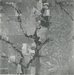
|
AT-1B-44
38.710155 -96.352487 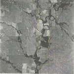
|
AT-1B-45
38.72297 -96.353248 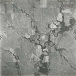
|
AT-1B-46
38.736554 -96.352056 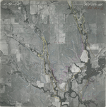
|
AT-1B-47
38.746876 -96.351846 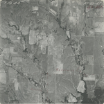
|