| Folder No. | County Name City |
Scanning | TSR | Quadrangle | Lat/Long | Project | Dates | Miscellaneous | Range of sheets | No. of sheets |
Cabinet | Notes |
|---|---|---|---|---|---|---|---|---|---|---|---|---|
|
Sheet 1, No. 1774
View |
Lyon
Americus, Emporia |
Scanned
(9 online) |
T. 18-19 S., R. 10-12 E. | Emporia |
38.426541
-96.192378 |
GS-VENU | 3-27-1978 | Flights 1-3 EW 19,000 | 1: 16-18, 31-29, 60-62 | 9 | 35 | See Emporia N/2 Index Sheet and Saffordville N/2 |
Click on any thumbnail to view a larger photo.
|
GS-VENU-1-16
38.476378 -96.218036 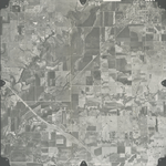
|
GS-VENU-1-17
38.477364 -96.176723 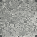
|
GS-VENU-1-18
38.47747 -96.135694 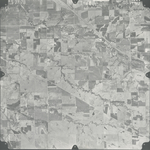
|
GS-VENU-1-29
38.424073 -96.155689 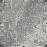
|
GS-VENU-1-30
38.427034 -96.196525 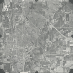
|
GS-VENU-1-31
38.425698 -96.236351 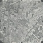
|
|
GS-VENU-1-60
38.377846 -96.244379 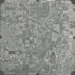
|
GS-VENU-1-61
38.376595 -96.203809 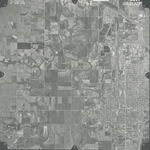
|
GS-VENU-1-62
38.376411 -96.164194 
|