| Folder No. | County Name City |
Scanning | TSR | Quadrangle | Lat/Long | Project | Dates | Miscellaneous | Range of sheets | No. of sheets |
Cabinet | Notes |
|---|---|---|---|---|---|---|---|---|---|---|---|---|
|
Sheet 1, No. 1785
View |
Lyon, Chase
Olpe |
Scanned
(15 online) |
T. 19-20 S., R. 9-11 E. | Saffordville SE |
38.306
-96.286729 |
GS-VDBY | 11-22-1972 | Flights 1-4 EW 11,000 | 2: 14-22, 51-40, 1: 314-319, 243-249 | 15 | 35 | Bk 1 Lucas; 1 BK for Trail NE and Saffordville SE; Tape; R-14 M. Schwartz |
Click on any thumbnail to view a larger photo.
|
GS-VDBY-1-245
38.309249 -96.312033 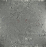
|
GS-VDBY-1-249
38.309126 -96.217515 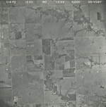
|
GS-VDBY-2-15
38.366686 -96.343392 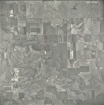
|
GS-VDBY-2-17
38.366144 -96.300417 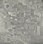
|
GS-VDBY-2-21
38.365575 -96.206051 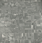
|
GS-VDBY-2-22
38.366228 -96.181442 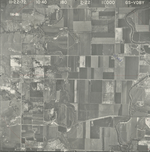
|
|
GS-VDBY-2-40
38.279009 -96.194176 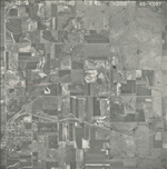
|
GS-VDBY-2-41
38.279063 -96.208099 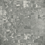
|
GS-VDBY-2-42
38.279928 -96.227279 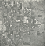
|
GS-VDBY-2-43
38.279388 -96.250811 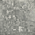
|
GS-VDBY-2-45
38.278478 -96.278357 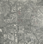
|
GS-VDBY-2-47
38.277844 -96.344659 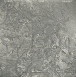
|
|
GS-VDBY-2-49
38.277945 -96.388474 
|
GS-VDBY-2-50
38.277612 -96.411538 
|
GS-VDBY-2-51
38.277723 -96.436695 
|