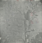
38.161644
-96.246254

38.25203
-96.404552

38.250885
-96.382897

| Folder No. | County Name City |
Scanning | TSR | Quadrangle | Lat/Long | Project | Dates | Miscellaneous | Range of sheets | No. of sheets |
Cabinet | Notes |
|---|---|---|---|---|---|---|---|---|---|---|---|---|
|
Sheet 1, No. 1790
View |
Lyon, Chase
Shaw Creek, Cottonwood Falls |
Scanned
(3 online) |
T 21-22 S; R 10-11 E also T 20-21 S; R 9 E | Thrall NE |
38.22152
-96.344568 |
GS-VDBY | 11-4-1972 | Flight 1 EW 11,000 | 1: 53, 176-177 | 3 | 35 |
Click on any thumbnail to view a larger photo.
|
GS-VDBY-1-53
38.161644 -96.246254 
|
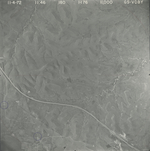
GS-VDBY-1-176
38.25203 -96.404552 
|
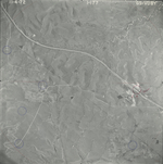
GS-VDBY-1-177
38.250885 -96.382897 
|