| Folder No. | County Name City |
Scanning | TSR | Quadrangle | Lat/Long | Project | Dates | Miscellaneous | Range of sheets | No. of sheets |
Cabinet | Notes |
|---|---|---|---|---|---|---|---|---|---|---|---|---|
|
Sheet 1, No. 184
View |
Bourbon
Porterville? |
Scanned
(5 online) |
T. 27 S., R. 21 E. | Erie NE |
37.679523
-95.073286 |
KHC | 5-15-1972 | 12000 ft | 24: 127, 81, 83, 41, 43 | 5 | 4 |
Click on any thumbnail to view a larger photo.
|
NO-24-127
37.644314 -95.085256 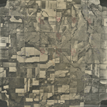
|
NO-27-41
37.70403 -95.044464 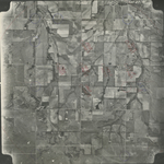
|
NO-27-43
37.710511 -95.097356 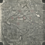
|
NO-27-81
37.670985 -95.097197 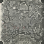
|
NO-27-83
37.667774 -95.042157 
|