| Folder No. | County Name City |
Scanning | TSR | Quadrangle | Lat/Long | Project | Dates | Miscellaneous | Range of sheets | No. of sheets |
Cabinet | Notes |
|---|---|---|---|---|---|---|---|---|---|---|---|---|
|
Sheet 1, No. 206
View |
Butler
Douglas |
Scanned
(12 online) |
T. 27 S., R. 2 E. |
37.675577
-97.171453 |
AYE-AYB | 7-4-1938 | Flight 8-A | 8A-51 to 8A-62 | 12 | 4 |
Click on any thumbnail to view a larger photo.
|
AYE-AYB-40-51
37.610443 -97.170446 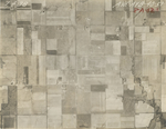
|
AYE-AYB-40-52
37.621237 -97.170079 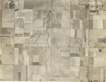
|
AYE-AYB-40-53
37.635578 -97.169771 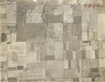
|
AYE-AYB-40-54
37.646092 -97.171399 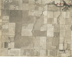
|
AYE-AYB-40-55
37.657862 -97.173079 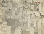
|
AYE-AYB-40-56
37.672183 -97.174854 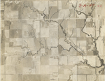
|
|
AYE-AYB-40-57
37.68218 -97.172704 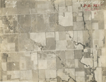
|
AYE-AYB-40-58
37.68976 -97.172599 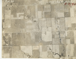
|
AYE-AYB-40-59
37.703751 -97.172283 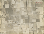
|
AYE-AYB-40-60
37.716324 -97.170073 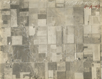
|
AYE-AYB-40-61
37.730637 -97.168811 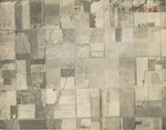
|
AYE-AYB-40-62
37.740877 -97.171338 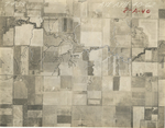
|