| Folder No. | County Name City |
Scanning | TSR | Quadrangle | Lat/Long | Project | Dates | Miscellaneous | Range of sheets | No. of sheets |
Cabinet | Notes |
|---|---|---|---|---|---|---|---|---|---|---|---|---|
|
Sheet 1, No. 239
View |
Butler
Benton |
Scanned
(22 online) |
T. 26 S., R. 3 E. |
37.781601
-97.098735 |
GS-VCOD | 1-15-1970 ??? | Flights 1,2,3, and 4 | 5-74 to 5-177 | 22 | All photos flipped horizontally (mirrored). |
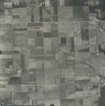
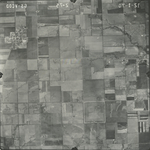
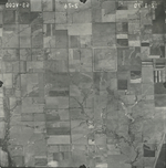
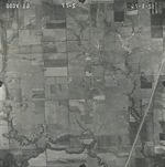
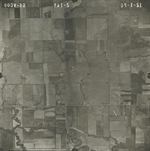
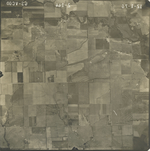
Click on any thumbnail to view a larger photo.
GS-VCOD_2-74
|
GS-VCOD_2-75
|
GS-VCOD_2-76
|
GS-VCOD_2-77
|
GS-VCOD_2-78
|
GS-VCOD_2-79
|
GS-VCOD_2-86
|
GS-VCOD_2-87
|
GS-VCOD_2-88
|
GS-VCOD_2-89
|
GS-VCOD_2-90
|
GS-VCOD_2-91
|
GS-VCOD_2-128
|
GS-VCOD_2-129
|
GS-VCOD_2-130
|
GS-VCOD_2-131
|
GS-VCOD_2-132
|
GS-VCOD_2-140
|
GS-VCOD_2-141
|
GS-VCOD_2-142
|
GS-VCOD_2-143
|
GS-VCOD_2-144
|